Transport Functions
Rail
Road
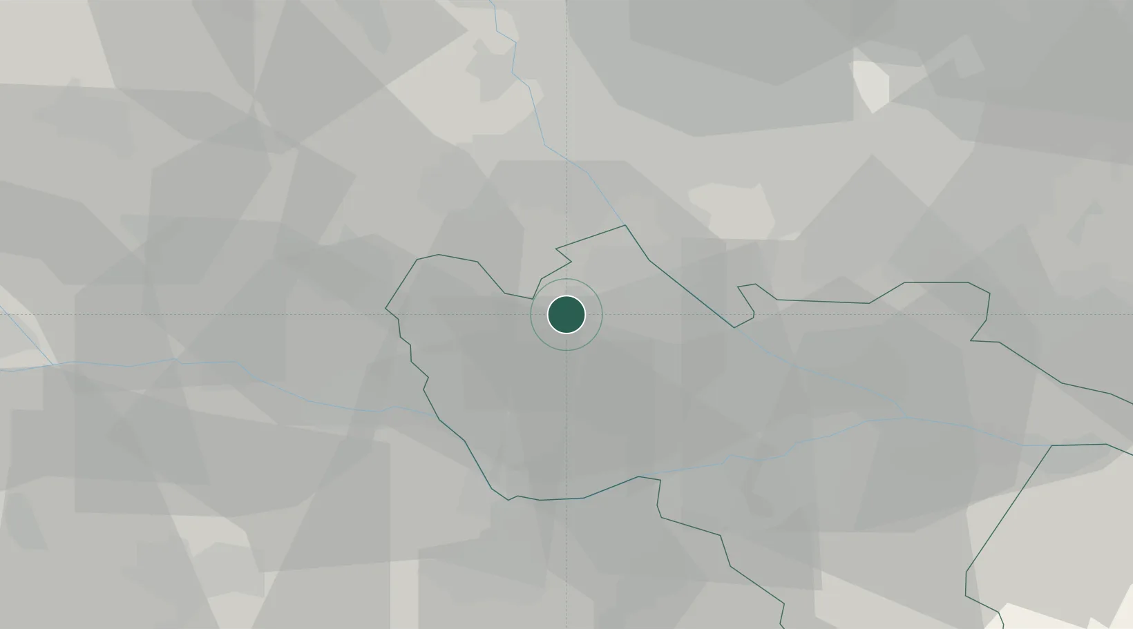
Location
Nearby Logistics Neighbours
Cities
- 1Cilavegna2 km
- 2Tromello13 km
- 3Velezzo Lomellina15 km
- 4Granozzo16 km
- 5Valle Lomellina16 km
Ports
- 1Genova99 km
- 2Savona109 km
- 3Rada Di Vado116 km
- 4Chiavari - Lavagna118 km
- 5La Spezia157 km
Airports
- 1Cameri Air Base28 km
- 2Milan Malpensa International Airport39 km
- 3Milano Linate Airport45 km
- 4Varese-Venegono Airport52 km
- 5Biella-Cerrione Airfield56 km
Trade Zones
- 1Magazzini Generali Con Chiasso64 km
- 2Aosta Valley159 km
- 3Livigno Free Trade Zone174 km
- 4ZFU LAriane207 km
- 5Port Franc Vevey214 km
DatabookThe Record of Consolidated Knowledge
Italy beyond logistics?