Medium airport · Italy
Biella-Cerrione AirfieldLILE
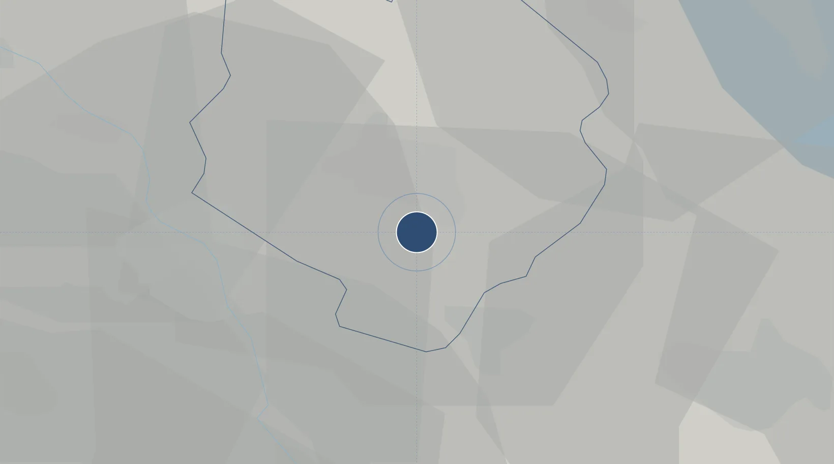
45.4953°, 8.1028°
4,331 ft
Longest runway
1
Runways
920 ft
Elevation
Runway & Layout

Radio Frequencies
AFIS
123.05 MHz
Navaids
BLA VOR-DME Biella Cerrione 116.10 MHz
BLA NDB Biella Cerrione 350 kHz
Runways · 1
| Runway | Dimensions | Surface | True heading | Lit |
|---|---|---|---|---|
| 16/34 | 4,331 × 98ft | Asphalt | 156° | ✓ |
Airport Specifications
ICAO code
LILE
Airport class
Medium airport
Scheduled service
No
Runway surface
Asphalt
Served city
Cerrione (BI)
Location
Nearby Logistics Neighbours
Airports
- 1Cameri Air Base44 km
- 2Turin Airport48 km
- 3Milan Malpensa International Airport51 km
- 4Torino-Aeritalia Airport60 km
- 5Aosta Corrado Gex Airport63 km
Ports
- 1Savona135 km
- 2Genova138 km
- 3Rada Di Vado140 km
- 4Chiavari - Lavagna164 km
- 5Imperia179 km
Trade Zones
- 1Magazzini Generali Con Chiasso76 km
- 2Aosta Valley104 km
- 3Port Franc Vevey160 km
- 4Geneva Freeport, La Praille, Geneva171 km
- 5Port Franc de Geneve174 km
DatabookThe Record of Consolidated Knowledge
Italy beyond logistics?