Transport Functions
Multimodal
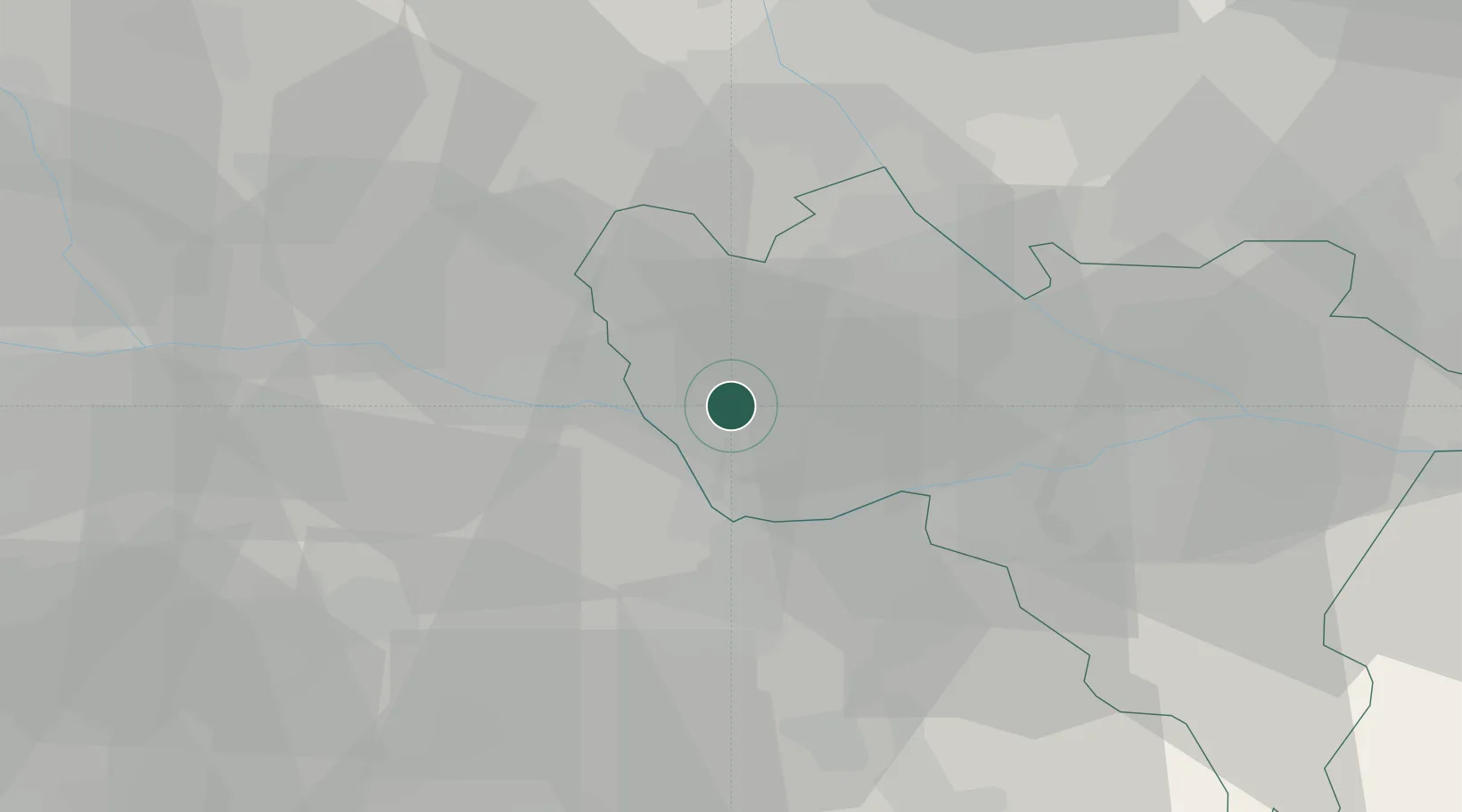
Hub Profile
Place type
District seat
Region
Lombardy
Population
2,067
Time zone
Europe/Rome
Elevation
101 m
Location
Nearby Logistics Neighbours
Cities
- 1Velezzo Lomellina5 km
- 2Gallo d'Alba6 km
- 3Pomaro Monferrato11 km
- 4Ticineto11 km
- 5Ferrera Erbognone16 km
Ports
- 1Genova86 km
- 2Savona94 km
- 3Rada Di Vado100 km
- 4Chiavari - Lavagna107 km
- 5La Spezia149 km
Airports
Trade Zones
- 1Magazzini Generali Con Chiasso80 km
- 2Aosta Valley158 km
- 3Livigno Free Trade Zone190 km
- 4ZFU LAriane191 km
- 5Port Franc Vevey219 km
DatabookThe Record of Consolidated Knowledge
Italy beyond logistics?