Transport Functions
Multimodal
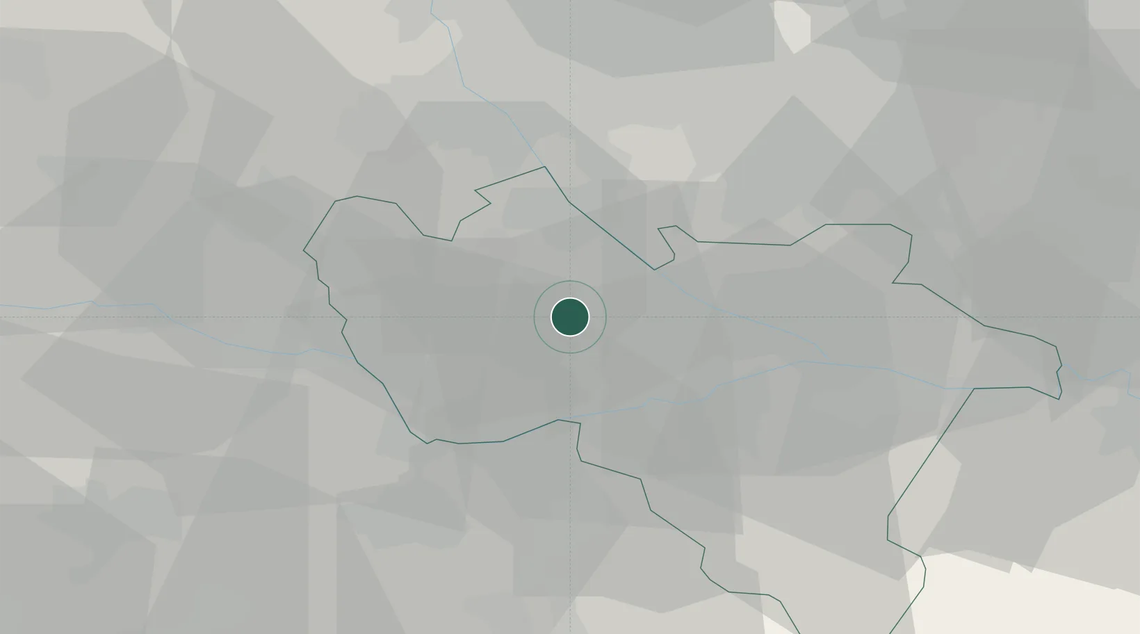
Hub Profile
Place type
District seat
Region
Lombardy
Population
3,393
Time zone
Europe/Rome
Elevation
97 m
Location
Nearby Logistics Neighbours
Cities
- 1Ferrera Erbognone9 km
- 2Dorno10 km
- 3Zerbolo10 km
- 4Velezzo Lomellina12 km
- 5Parona Lomellina13 km
Ports
- 1Genova89 km
- 2Savona102 km
- 3Chiavari - Lavagna106 km
- 4Rada Di Vado109 km
- 5La Spezia144 km
Airports
Trade Zones
- 1Magazzini Generali Con Chiasso72 km
- 2Aosta Valley171 km
- 3Livigno Free Trade Zone176 km
- 4ZFU LAriane205 km
- 5Port Franc Vevey227 km
DatabookThe Record of Consolidated Knowledge
Italy beyond logistics?