Transport Functions
Multimodal
Hub Profile
Place type
District seat
Region
Lombardy
Population
55
Time zone
Europe/Rome
Elevation
98 m
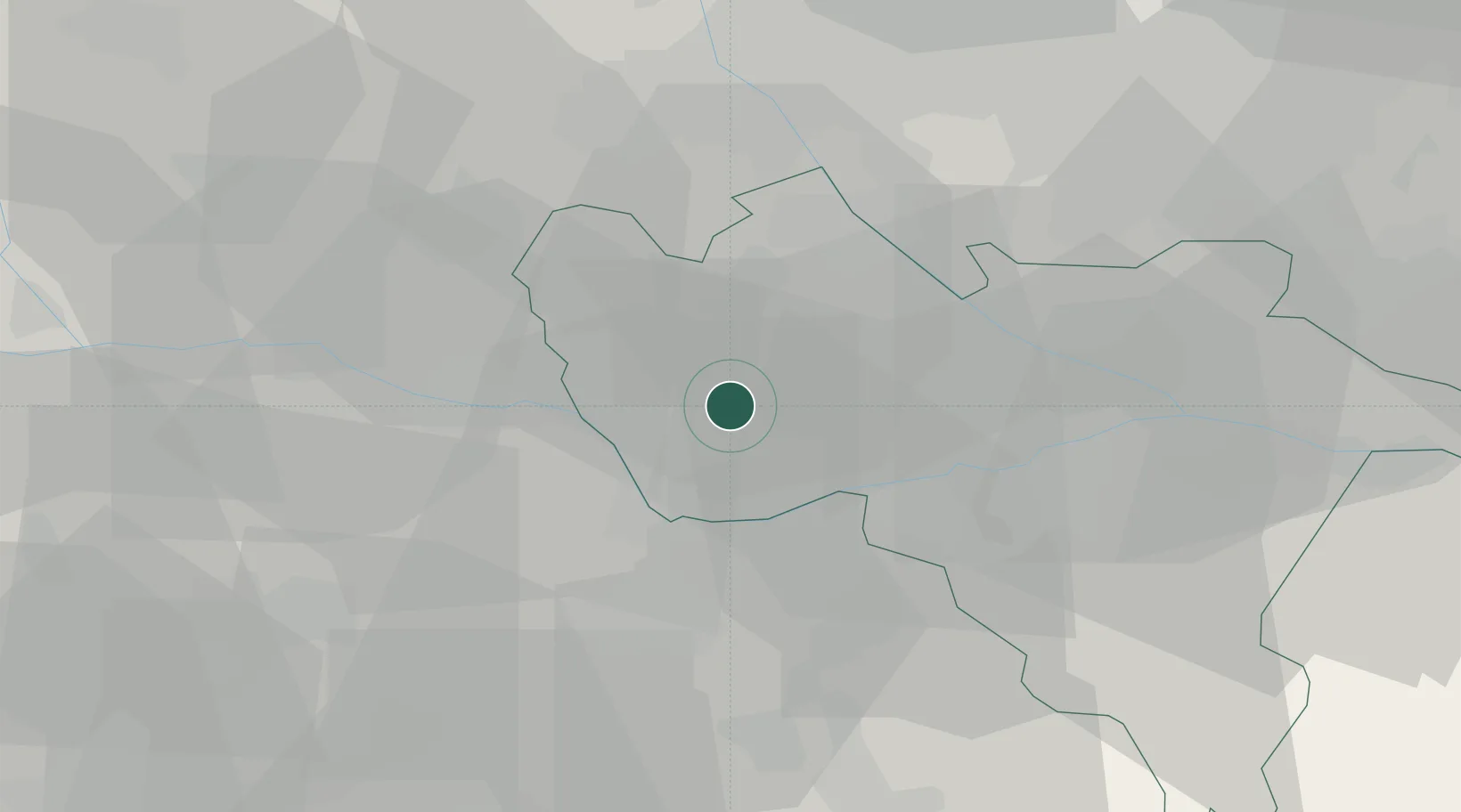
Location
Nearby Logistics Neighbours
Cities
- 1Valle Lomellina5 km
- 2Gallo d'Alba10 km
- 3Ferrera Erbognone11 km
- 4Tromello12 km
- 5Mezzana Bigli13 km
Ports
- 1Genova85 km
- 2Savona95 km
- 3Rada Di Vado101 km
- 4Chiavari - Lavagna105 km
- 5La Spezia146 km
Airports
Trade Zones
- 1Magazzini Generali Con Chiasso79 km
- 2Aosta Valley163 km
- 3Livigno Free Trade Zone187 km
- 4ZFU LAriane194 km
- 5Port Franc Vevey223 km
DatabookThe Record of Consolidated Knowledge
Italy beyond logistics?