Transport Functions
Road
Multimodal
Hub Profile
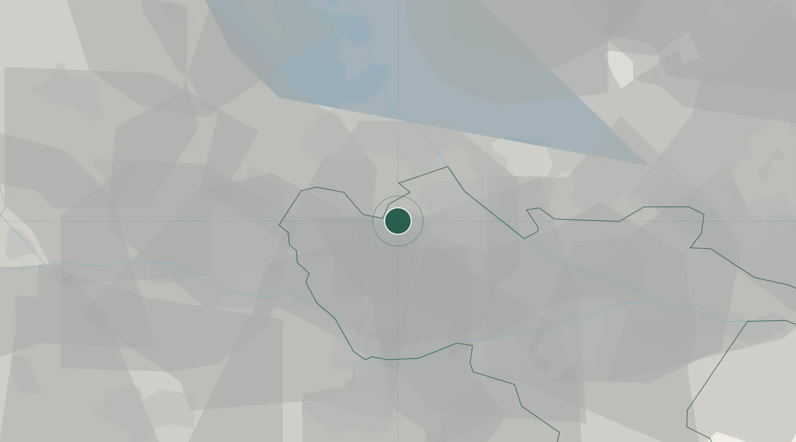
Place type
District seat
Region
Lombardy
Population
5,583
Time zone
Europe/Rome
Elevation
115 m
Location
Nearby Logistics Neighbours
Cities
- 1Parona Lomellina2 km
- 2Granozzo14 km
- 3Confienza15 km
- 4Pagliate15 km
- 5Tromello15 km
Ports
- 1Genova101 km
- 2Savona111 km
- 3Rada Di Vado117 km
- 4Chiavari - Lavagna120 km
- 5La Spezia159 km
Airports
- 1Cameri Air Base26 km
- 2Milan Malpensa International Airport37 km
- 3Milano Linate Airport45 km
- 4Varese-Venegono Airport51 km
- 5Biella-Cerrione Airfield54 km
Trade Zones
- 1Magazzini Generali Con Chiasso63 km
- 2Aosta Valley157 km
- 3Livigno Free Trade Zone173 km
- 4ZFU LAriane208 km
- 5Port Franc Vevey212 km
DatabookThe Record of Consolidated Knowledge
Italy beyond logistics?