UN/LOCODE hub · Italy
ITELA

Casole d'Elsa

43.3333°, 11.0333°
1,024
Population
3
Transport functions

Transport Functions

Rail
Road
Multimodal
UN/LOCODE

Hub Profile

Place type
District seat
GeoNames
Region
Tuscany
GeoNames
Population
1,024
GeoNames
Time zone
Europe/Rome
GeoNames
Elevation
417 m
GeoNames

Location

Location of ITELA
Natural Earth 10m (public domain) · Tuscany · ITELA · 43.33, 11.03GoogleOSMYandex

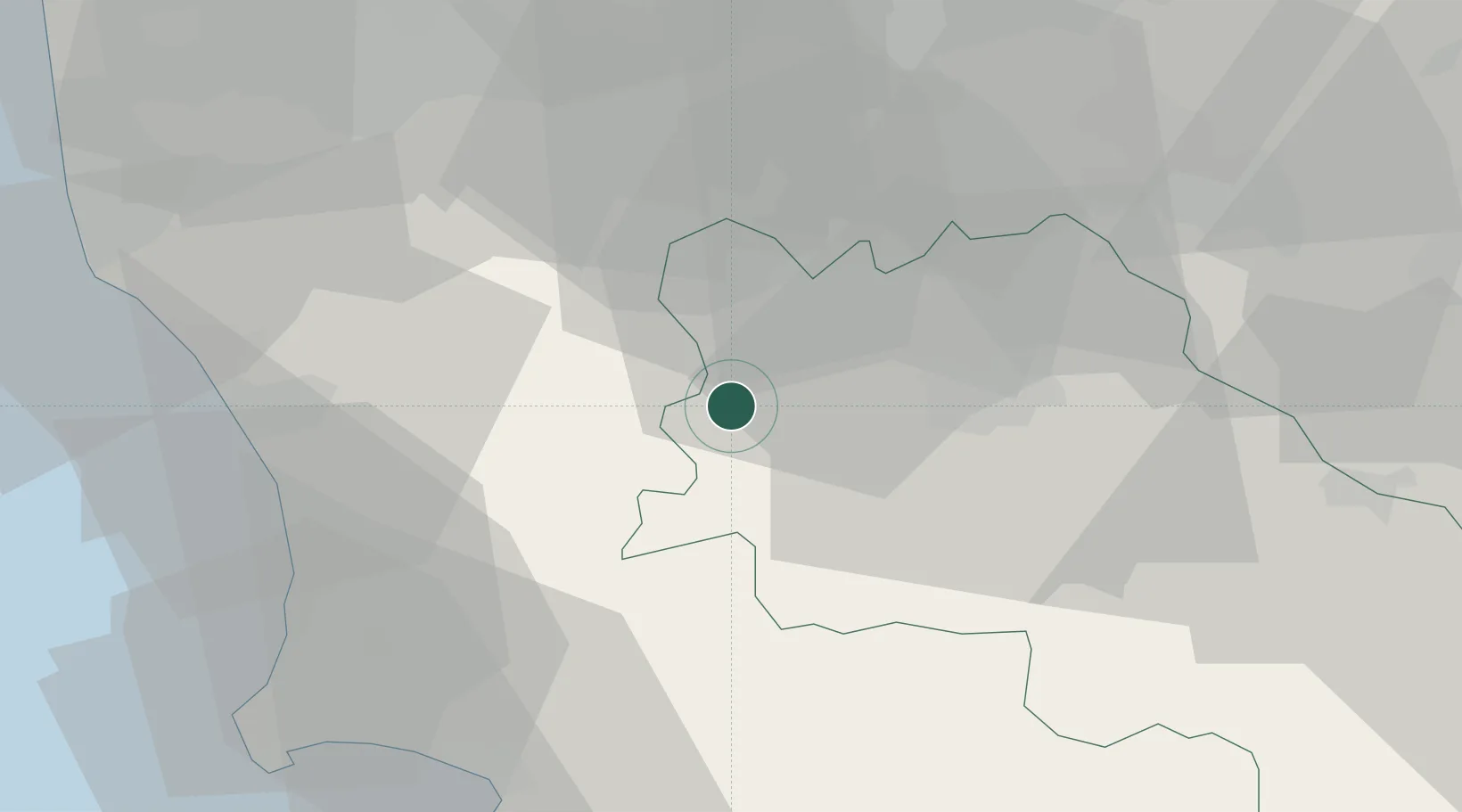
Nearby Logistics Neighbours

Cities
  1. 1Pignano11 km
  2. 2Acquaviva12 km
  3. 3San Gimignano15 km
  4. 4Ponteginori24 km
  5. 5Peccioli35 km
Nearest neighbours — logibook spatial index (haversine) over the source coordinates
Ports
  1. 1Vada47 km
  2. 2Portovecchio Di Piombino59 km
  3. 3Livorno64 km
  4. 4Portoferraio81 km
  5. 5Viareggio87 km
Nearest neighbours — logibook spatial index (haversine) over the source coordinates
Airports
  1. 1Siena-Ampugnano Airport20 km
  2. 2Florence Airport, Peretola55 km
  3. 3Grosseto Corrado Baccarini Air Base / Grosseto Airport64 km
  4. 4Pisa International Airport65 km
  5. 5Marina di Campo Airport91 km
Nearest neighbours — logibook spatial index (haversine) over the source coordinates
Trade Zones
  1. 1Abruzzo Special Economic Zone221 km
  2. 2Consorzio Zona Industriale e Porto Fluviale di Padova239 km
  3. 3Free Port of Venice254 km
  4. 4Port of Pula Free Zone281 km
  5. 5Ionian Special Economic Zone302 km
Nearest neighbours — logibook spatial index (haversine) over the source coordinates
DatabookThe Record of Consolidated Knowledge
Italy beyond logistics?
Browse databook

All Sources

LocationsUN/LOCODE
UN/LOCODE — free
LocationsGeoNames
CC BY 4.0
Portsthe NGA World Port Index
Public domain (US gov)
AirportsOurAirports
Public domain
Trade Zonesthe World Bank SEZ database
CC BY 4.0
Trade ZonesOpen Zone Map
CC BY
← Italy locations