Transport Functions
Road
Multimodal
Hub Profile
Place type
District seat
Region
Tuscany
Population
2,715
Time zone
Europe/Rome
Elevation
144 m
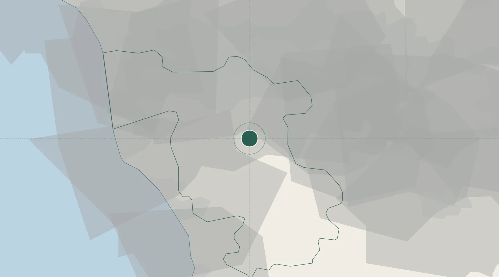
Location
Nearby Logistics Neighbours
Cities
- 1Crespina12 km
- 2Pontedera13 km
- 3Montopoli in Val d'Arno13 km
- 4Calcinaia17 km
- 5Castelfranco di Sotto17 km
Ports
- 1Vada31 km
- 2Livorno34 km
- 3Viareggio52 km
- 4Portovecchio Di Piombino70 km
- 5Marina Di Carrara76 km
Airports
Trade Zones
- 1Consorzio Zona Industriale e Porto Fluviale di Padova226 km
- 2Free Port of Venice244 km
- 3Abruzzo Special Economic Zone256 km
- 4ZFU LAriane277 km
- 5Port of Pula Free Zone288 km
DatabookThe Record of Consolidated Knowledge
Italy beyond logistics?