Transport Functions
Multimodal
Hub Profile
Place type
Populated place
Region
Tuscany
Time zone
Europe/Rome
Elevation
475 m
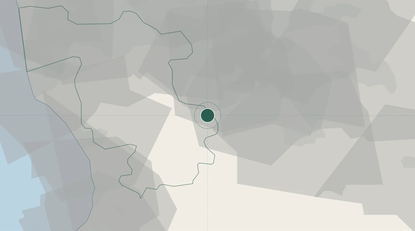
Location
Nearby Logistics Neighbours
Cities
- 1San Gimignano8 km
- 2Casole d'Elsa11 km
- 3Acquaviva17 km
- 4Ponteginori21 km
- 5Peccioli25 km
Ports
- 1Vada42 km
- 2Livorno56 km
- 3Portovecchio Di Piombino63 km
- 4Viareggio77 km
- 5Portoferraio84 km
Airports
Trade Zones
- 1Abruzzo Special Economic Zone231 km
- 2Consorzio Zona Industriale e Porto Fluviale di Padova232 km
- 3Free Port of Venice248 km
- 4Port of Pula Free Zone280 km
- 5ZFU LAriane299 km
DatabookThe Record of Consolidated Knowledge
Italy beyond logistics?