Transport Functions
Rail
Road
Hub Profile
Place type
District seat
Region
Friuli Venezia Giulia
Population
2,145
Time zone
Europe/Rome
Elevation
363 m
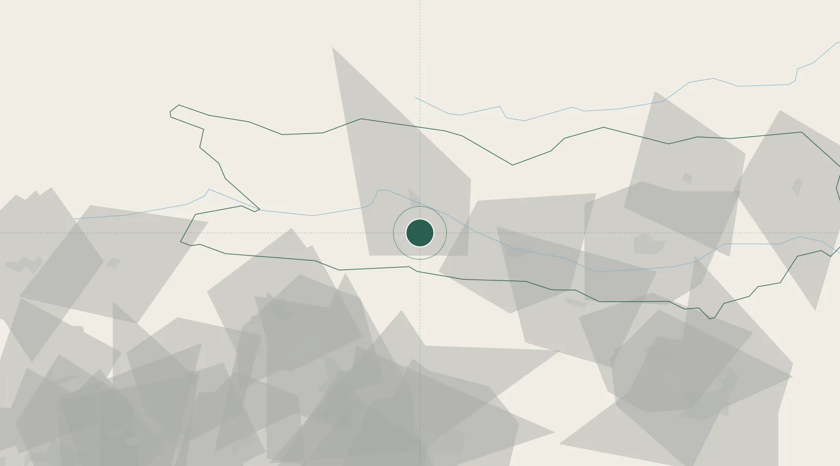
Location
Nearby Logistics Neighbours
Cities
- 1Paternion9 km
- 2Micheldorf12 km
- 3Millstatt14 km
- 4Seeboden15 km
- 5Karlsdorf17 km
Ports
- 1Monfalcone100 km
- 2Nogaro106 km
- 3Grado111 km
- 4Trieste116 km
- 5Muggia122 km
Airports
- 1Klagenfurt Airport63 km
- 2Udine-Rivolto Air Base86 km
- 3Ljubljana Jože Pučnik Airport88 km
- 4Trieste Airport95 km
- 5Aviano Air Base101 km
Trade Zones
- 1Free Port of Trieste117 km
- 2Free Port of Venice168 km
- 3Free Zone Kukuljanovo168 km
- 4Port of Rijeka Free Zone175 km
- 5Consorzio Zona Industriale e Porto Fluviale di Padova189 km
DatabookThe Record of Consolidated Knowledge
Italy beyond logistics?