Transport Functions
Rail
Road
Hub Profile
Place type
Populated place
Region
Carinthia
Time zone
Europe/Vienna
Elevation
632 m
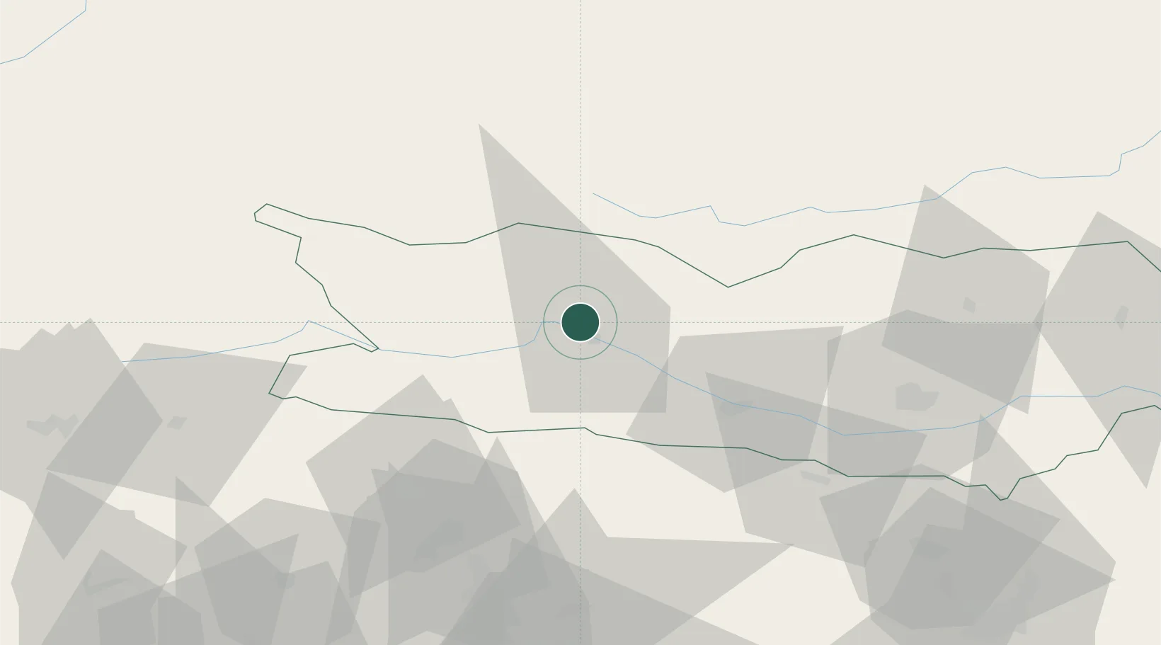
Location
Nearby Logistics Neighbours
Cities
- 1Seeboden2 km
- 2Millstatt9 km
- 3Gmünd In Kärnten9 km
- 4Villa Santina17 km
- 5Paternion20 km
Ports
- 1Monfalcone117 km
- 2Nogaro122 km
- 3Grado127 km
- 4Trieste133 km
- 5Muggia139 km
Airports
- 1Klagenfurt Airport70 km
- 2Udine-Rivolto Air Base100 km
- 3Ljubljana Jože Pučnik Airport102 km
- 4Hinterstoisser Air Base105 km
- 5Aviano Air Base111 km
Trade Zones
- 1Free Port of Trieste134 km
- 2Free Port of Venice180 km
- 3Free Zone Kukuljanovo185 km
- 4Port of Rijeka Free Zone192 km
- 5Krapina-Zagorje Free Zone199 km
DatabookThe Record of Consolidated Knowledge
Austria beyond logistics?