UN/LOCODE hub · Austria
ATMST

Millstatt

46.8000°, 13.5667°
889
Population
1
Transport functions

Transport Functions

Multimodal
UN/LOCODE

Hub Profile

Place type
District seat
GeoNames
Region
Carinthia
GeoNames
Population
889
GeoNames
Time zone
Europe/Vienna
GeoNames
Elevation
695 m
GeoNames

Location

Location of ATMST
Natural Earth 10m (public domain) · Carinthia · ATMST · 46.80, 13.57GoogleOSMYandex

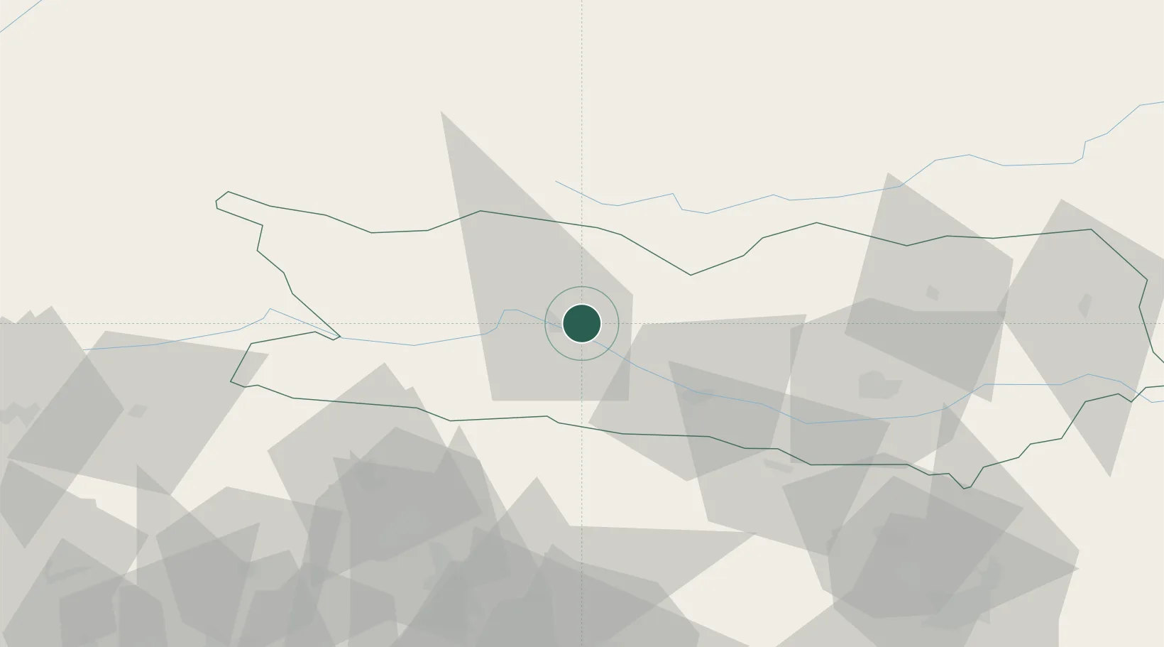
Nearby Logistics Neighbours

Cities
  1. 1Seeboden7 km
  2. 2Karlsdorf9 km
  3. 3Gmünd In Kärnten11 km
  4. 4Paternion12 km
  5. 5Villa Santina14 km
Nearest neighbours — logibook spatial index (haversine) over the source coordinates
Ports
  1. 1Monfalcone113 km
  2. 2Nogaro120 km
  3. 3Grado124 km
  4. 4Trieste129 km
  5. 5Muggia134 km
Nearest neighbours — logibook spatial index (haversine) over the source coordinates
Airports
  1. 1Klagenfurt Airport61 km
  2. 2Ljubljana Jože Pučnik Airport94 km
  3. 3Udine-Rivolto Air Base100 km
  4. 4Hinterstoisser Air Base100 km
  5. 5Trieste Airport108 km
Nearest neighbours — logibook spatial index (haversine) over the source coordinates
Trade Zones
  1. 1Free Port of Trieste129 km
  2. 2Free Zone Kukuljanovo178 km
  3. 3Free Port of Venice180 km
  4. 4Port of Rijeka Free Zone187 km
  5. 5Krapina-Zagorje Free Zone191 km
Nearest neighbours — logibook spatial index (haversine) over the source coordinates
DatabookThe Record of Consolidated Knowledge
Austria beyond logistics?
Browse databook

All Sources

LocationsUN/LOCODE
UN/LOCODE — free
LocationsGeoNames
CC BY 4.0
Portsthe NGA World Port Index
Public domain (US gov)
AirportsOurAirports
Public domain
Trade Zonesthe World Bank SEZ database
CC BY 4.0
Trade ZonesOpen Zone Map
CC BY
← Austria locations