Transport Functions
Port
Road
Hub Profile
Place type
District seat
Region
Carinthia
Population
676
Time zone
Europe/Vienna
Elevation
513 m
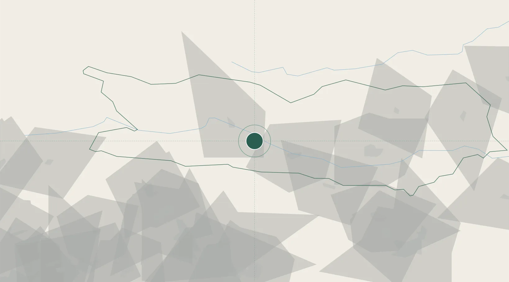
Location
Nearby Logistics Neighbours
Cities
- 1Villa Santina9 km
- 2Millstatt12 km
- 3Gummern13 km
- 4Obere Fellach16 km
- 5Seeboden17 km
Ports
- 1Monfalcone102 km
- 2Nogaro111 km
- 3Grado115 km
- 4Trieste117 km
- 5Muggia123 km
Airports
- 1Klagenfurt Airport54 km
- 2Ljubljana Jože Pučnik Airport82 km
- 3Udine-Rivolto Air Base92 km
- 4Trieste Airport98 km
- 5Hinterstoisser Air Base101 km
Trade Zones
- 1Free Port of Trieste118 km
- 2Free Zone Kukuljanovo166 km
- 3Free Port of Venice174 km
- 4Port of Rijeka Free Zone174 km
- 5Krapina-Zagorje Free Zone182 km
DatabookThe Record of Consolidated Knowledge
Austria beyond logistics?