Transport Functions
Multimodal
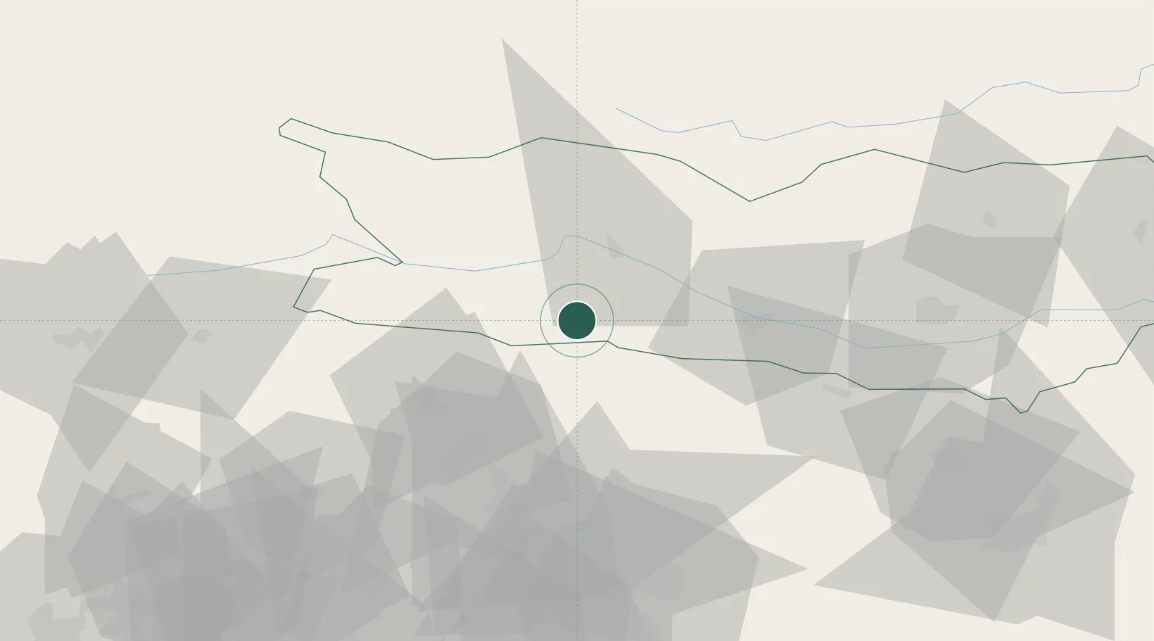
Hub Profile
Place type
Populated place
Region
Carinthia
Population
163
Time zone
Europe/Vienna
Elevation
634 m
Location
Nearby Logistics Neighbours
Cities
- 1Villa Santina12 km
- 2Pontebba15 km
- 3Paternion20 km
- 4Fusine in Valromana22 km
- 5Seeboden23 km
Ports
- 1Monfalcone93 km
- 2Nogaro97 km
- 3Grado103 km
- 4Trieste111 km
- 5Muggia117 km
Airports
- 1Klagenfurt Airport72 km
- 2Udine-Rivolto Air Base76 km
- 3Trieste Airport88 km
- 4Aviano Air Base90 km
- 5Ljubljana Jože Pučnik Airport92 km
Trade Zones
- 1Free Port of Trieste111 km
- 2Free Port of Venice156 km
- 3Free Zone Kukuljanovo166 km
- 4Port of Rijeka Free Zone172 km
- 5Consorzio Zona Industriale e Porto Fluviale di Padova178 km
DatabookThe Record of Consolidated Knowledge
Austria beyond logistics?