UN/LOCODE hub · Austria
ATSEB

Seeboden

46.8167°, 13.4833°
3,123
Population
1
Transport functions

Transport Functions

Multimodal
UN/LOCODE

Hub Profile

Place type
District seat
GeoNames
Region
Carinthia
GeoNames
Population
3,123
GeoNames
Time zone
Europe/Vienna
GeoNames
Elevation
620 m
GeoNames

Location

Location of ATSEB
Natural Earth 10m (public domain) · Carinthia · ATSEB · 46.82, 13.48GoogleOSMYandex

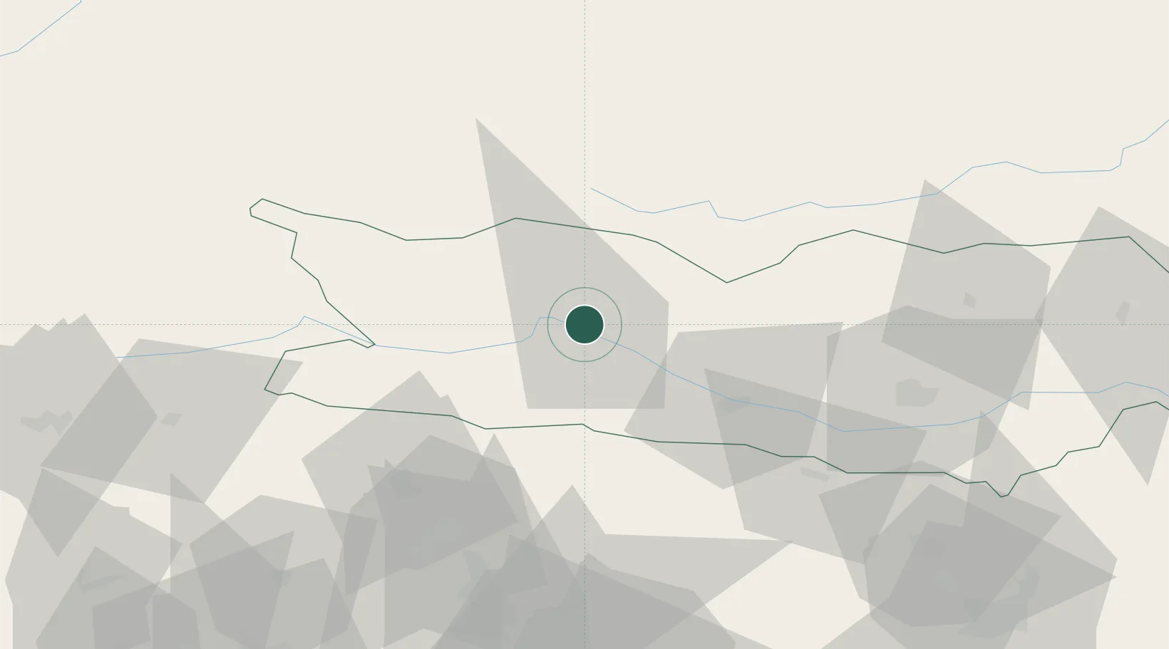
Nearby Logistics Neighbours

Cities
  1. 1Karlsdorf2 km
  2. 2Millstatt7 km
  3. 3Gmünd In Kärnten10 km
  4. 4Villa Santina15 km
  5. 5Paternion17 km
Nearest neighbours — logibook spatial index (haversine) over the source coordinates
Ports
  1. 1Monfalcone115 km
  2. 2Nogaro120 km
  3. 3Grado125 km
  4. 4Trieste131 km
  5. 5Muggia137 km
Nearest neighbours — logibook spatial index (haversine) over the source coordinates
Airports
  1. 1Klagenfurt Airport68 km
  2. 2Udine-Rivolto Air Base99 km
  3. 3Ljubljana Jože Pučnik Airport100 km
  4. 4Hinterstoisser Air Base105 km
  5. 5Trieste Airport110 km
Nearest neighbours — logibook spatial index (haversine) over the source coordinates
Trade Zones
  1. 1Free Port of Trieste132 km
  2. 2Free Port of Venice179 km
  3. 3Free Zone Kukuljanovo183 km
  4. 4Port of Rijeka Free Zone190 km
  5. 5Krapina-Zagorje Free Zone198 km
Nearest neighbours — logibook spatial index (haversine) over the source coordinates
DatabookThe Record of Consolidated Knowledge
Austria beyond logistics?
Browse databook

All Sources

LocationsUN/LOCODE
UN/LOCODE — free
LocationsGeoNames
CC BY 4.0
Portsthe NGA World Port Index
Public domain (US gov)
AirportsOurAirports
Public domain
Trade Zonesthe World Bank SEZ database
CC BY 4.0
Trade ZonesOpen Zone Map
CC BY
← Austria locations