Transport Functions
Port
Road
Hub Profile
Place type
Populated place
Region
Tuscany
Population
2,676
Time zone
Europe/Rome
Elevation
3 m
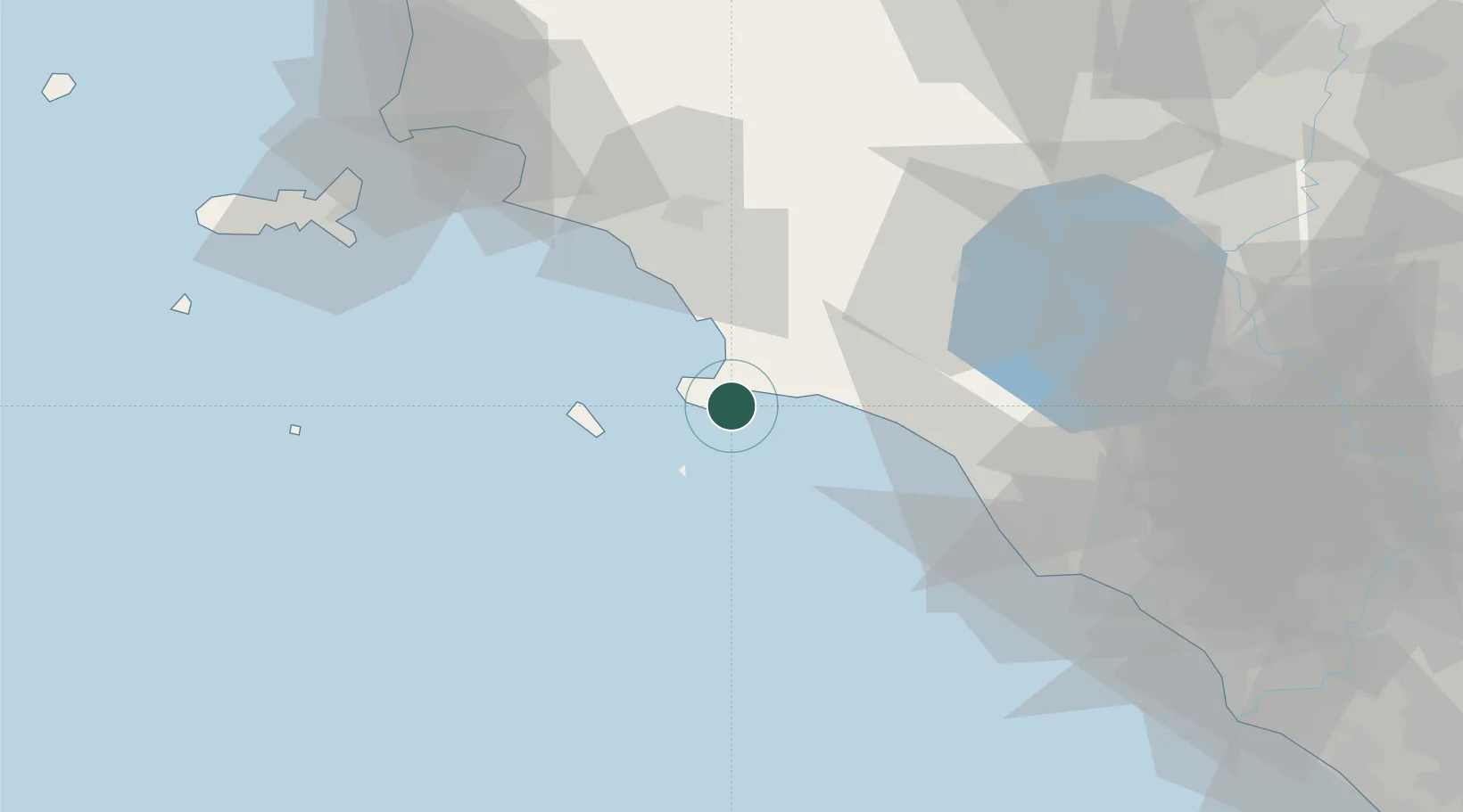
Location
Nearby Logistics Neighbours
Cities
- 1Orbetello8 km
- 2Albinia13 km
- 3Isola del Giglio25 km
- 4Montalto di Castro34 km
- 5Fonteblanda37 km
Ports
- 1Porto Santo Stefano9 km
- 2Giglio Porto23 km
- 3Civitavecchia57 km
- 4Portovecchio Di Piombino81 km
- 5Portoferraio86 km
Airports
DatabookThe Record of Consolidated Knowledge
Italy beyond logistics?