Transport Functions
Rail
Road
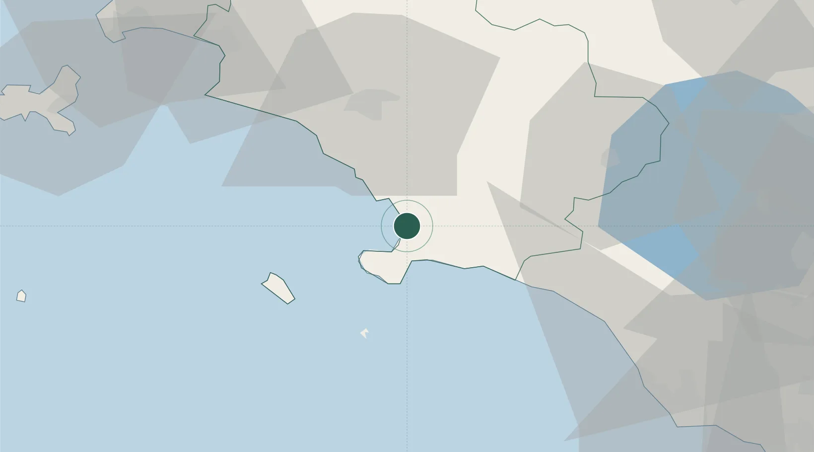
Hub Profile
Place type
Populated place
Region
Tuscany
Population
2,926
Time zone
Europe/Rome
Elevation
2 m
Location
Nearby Logistics Neighbours
Cities
- 1Orbetello6 km
- 2Porto Ercole13 km
- 3Fonteblanda24 km
- 4Isola del Giglio29 km
- 5Marina di Grosseto30 km
Ports
- 1Porto Santo Stefano9 km
- 2Porto Ercole11 km
- 3Giglio Porto28 km
- 4Civitavecchia65 km
- 5Portovecchio Di Piombino71 km
Airports
DatabookThe Record of Consolidated Knowledge
Italy beyond logistics?