Transport Functions
Multimodal
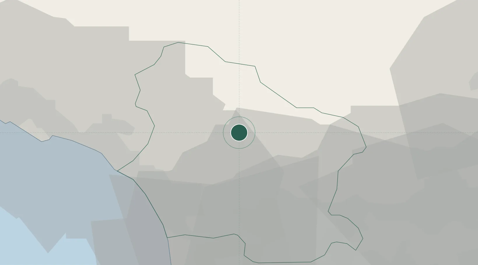
Hub Profile
Place type
District seat
Region
Tuscany
Population
2,556
Time zone
Europe/Rome
Elevation
186 m
Location
Nearby Logistics Neighbours
Cities
- 1Barga4 km
- 2Piano di Coreglia7 km
- 3Coreglia Antelminelli7 km
- 4Pescaglia11 km
- 5Magnano11 km
Ports
- 1Viareggio28 km
- 2Marina Di Carrara31 km
- 3La Spezia48 km
- 4Livorno60 km
- 5Vada80 km
Airports
- 1Sarzana-Luni Air Base36 km
- 2Pisa International Airport43 km
- 3Florence Airport, Peretola68 km
- 4Parma Airport85 km
- 5Bologna Guglielmo Marconi Airport86 km
Trade Zones
- 1Consorzio Zona Industriale e Porto Fluviale di Padova188 km
- 2Free Port of Venice212 km
- 3Magazzini Generali Con Chiasso230 km
- 4ZFU LAriane255 km
- 5Livigno Free Trade Zone275 km
DatabookThe Record of Consolidated Knowledge
Italy beyond logistics?