Transport Functions
Multimodal
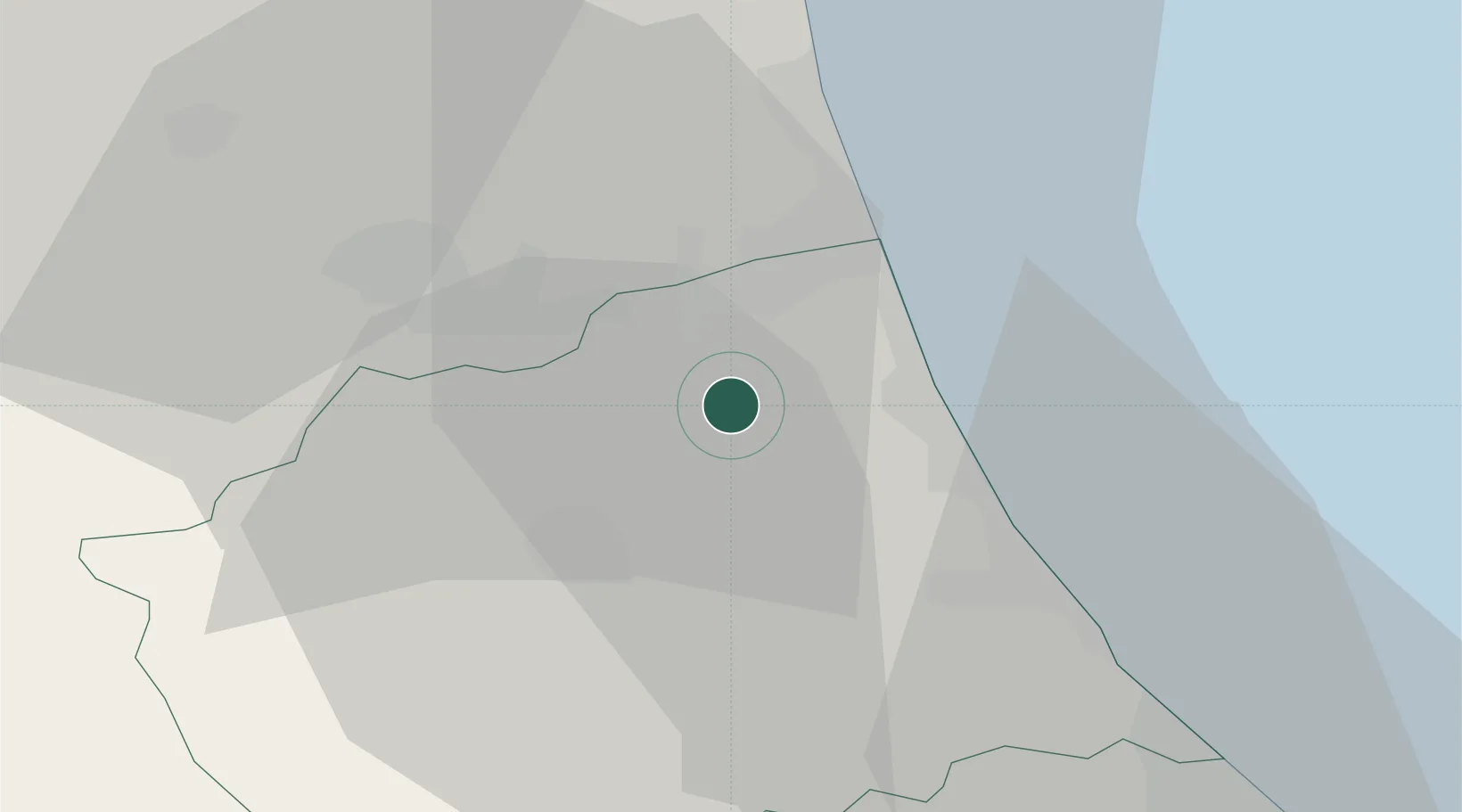
Hub Profile
Place type
District seat
Region
Abruzzo
Population
1,569
Time zone
Europe/Rome
Elevation
209 m
Location
Nearby Logistics Neighbours
Cities
- 1Sant'Atto9 km
- 2Colli del Tronto11 km
- 3San Nicolò a Tordino11 km
- 4Monsampolo del Tronto13 km
- 5Villa Rosa13 km
Ports
- 1Giulianova15 km
- 2San Benedetto Del Tronto21 km
- 3Pescara50 km
- 4Civitanova Marche60 km
- 5Ortona70 km
Airports
- 1Abruzzo Airport50 km
- 2Marche Airport99 km
- 3Perugia San Francesco d'Assisi – Umbria International Airport110 km
- 4Guidonia Air Base124 km
- 5Rome Urbe Airport141 km
Trade Zones
DatabookThe Record of Consolidated Knowledge
Italy beyond logistics?