Transport Functions
Port
Hub Profile
Place type
District seat
Region
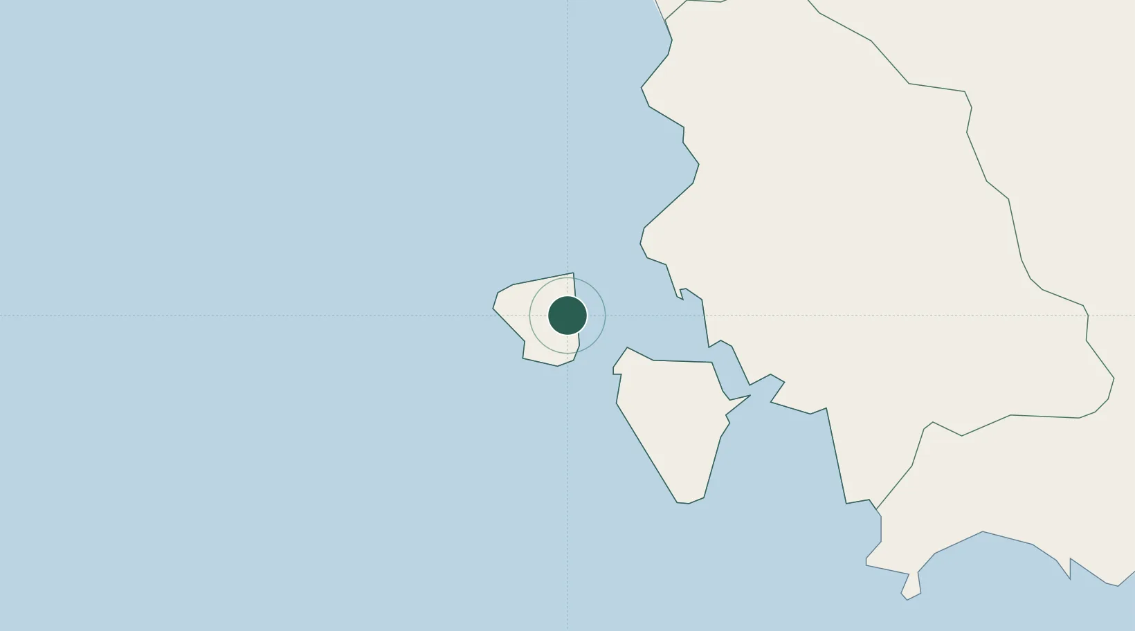
Sardinia
Population
5,560
Time zone
Europe/Rome
Elevation
10 m
Location
Nearby Logistics Neighbours
Cities
- 1Portoscuso (Porto Vesme)9 km
- 2Calasetta13 km
- 3Sant'Antioco16 km
- 4Piscinas32 km
- 5Domusnovas34 km
Ports
- 1Porto Vesme9 km
- 2Sant'Antioco17 km
- 3Porto Ponte Romano18 km
- 4Sarroch Oil Terminal64 km
- 5Cagliari69 km
Airports
- 1Decimomannu Air Base62 km
- 2Cagliari Elmas Airport66 km
- 3Tortolì Airport146 km
- 4Alghero-Fertilia Airport165 km
- 5Olbia Costa Smeralda Airport220 km
Trade Zones
- 1Free Zone of Portovesme11 km
- 2Sardinia Special Economic Zone Area171 km
- 3Bizerte Park of Economic Activities250 km
- 4ZFU La Seyne-sur-Mer483 km
- 5ZFU Toulon484 km
DatabookThe Record of Consolidated Knowledge
Italy beyond logistics?