Transport Functions
Port
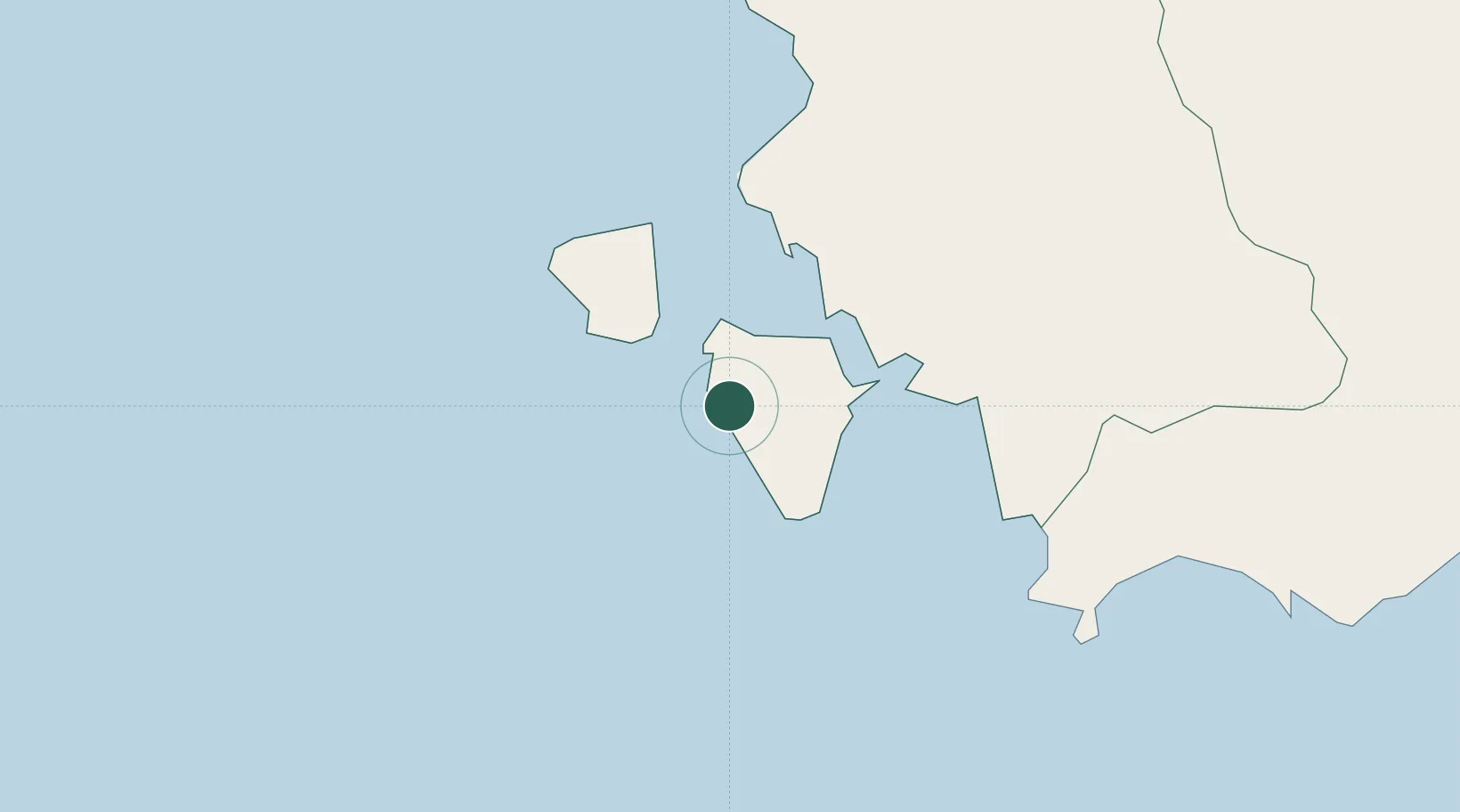
Hub Profile
Place type
District seat
Region
Sardinia
Population
2,331
Time zone
Europe/Rome
Elevation
9 m
Location
Nearby Logistics Neighbours
Cities
- 1Sant'Antioco7 km
- 2Carloforte13 km
- 3Portoscuso (Porto Vesme)17 km
- 4Piscinas25 km
- 5Santadi29 km
Ports
- 1Sant'Antioco8 km
- 2Porto Ponte Romano9 km
- 3Carloforte12 km
- 4Porto Vesme16 km
- 5Sarroch Oil Terminal58 km
Airports
- 1Decimomannu Air Base62 km
- 2Cagliari Elmas Airport63 km
- 3Tortolì Airport149 km
- 4Alghero-Fertilia Airport176 km
- 5Olbia Costa Smeralda Airport228 km
Trade Zones
DatabookThe Record of Consolidated Knowledge
Italy beyond logistics?