Transport Functions
Port
Rail
Road
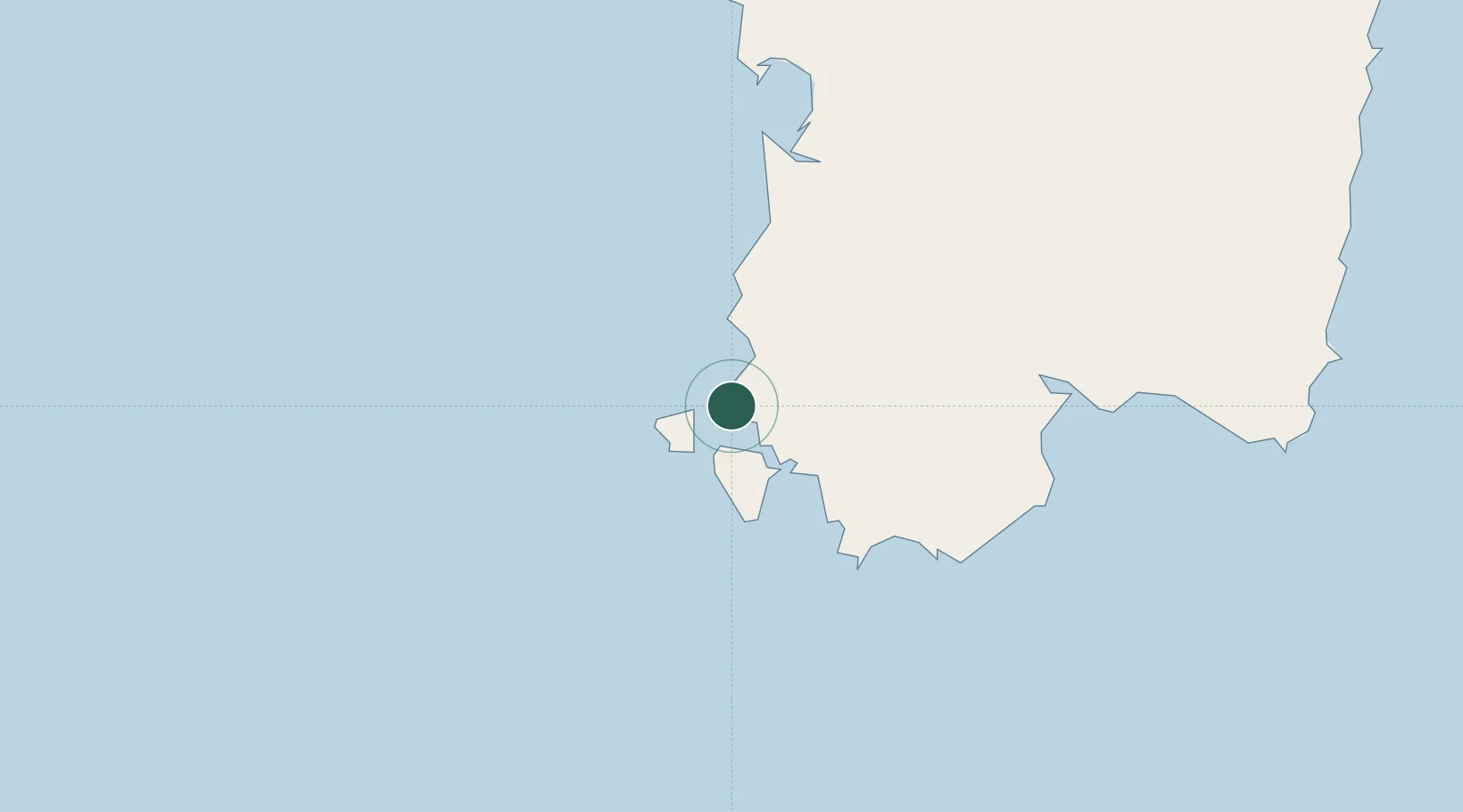
Location
Nearby Logistics Neighbours
Cities
- 1Carloforte9 km
- 2Sant'Antioco16 km
- 3Calasetta17 km
- 4Domusnovas25 km
- 5Piscinas27 km
Ports
- 1Carloforte8 km
- 2Sant'Antioco16 km
- 3Porto Ponte Romano18 km
- 4Sarroch Oil Terminal58 km
- 5Cagliari62 km
Airports
- 1Decimomannu Air Base54 km
- 2Cagliari Elmas Airport58 km
- 3Tortolì Airport137 km
- 4Alghero-Fertilia Airport159 km
- 5Olbia Costa Smeralda Airport212 km
Trade Zones
DatabookThe Record of Consolidated Knowledge
Italy beyond logistics?