Transport Functions
Port
Road
Hub Profile
Place type
District seat
Region
Sardinia
Population
10,997
Time zone
Europe/Rome
Elevation
7 m
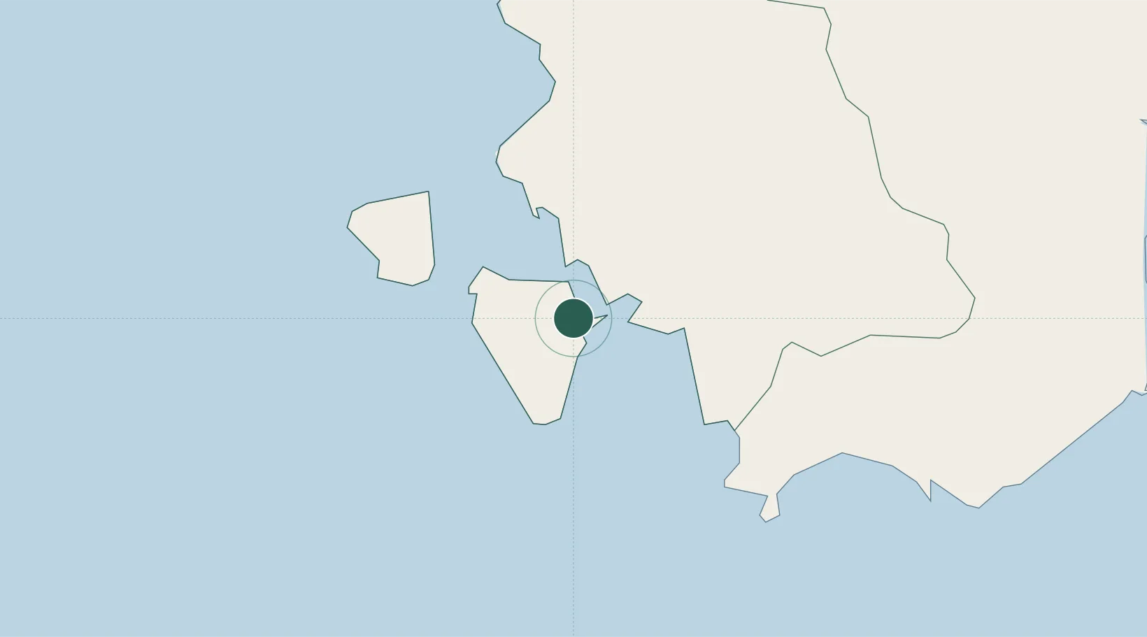
Location
Nearby Logistics Neighbours
Cities
- 1Calasetta7 km
- 2Portoscuso (Porto Vesme)16 km
- 3Carloforte16 km
- 4Piscinas17 km
- 5Santadi22 km
Ports
- 1Sant'Antioco1 km
- 2Porto Ponte Romano2 km
- 3Carloforte15 km
- 4Porto Vesme15 km
- 5Sarroch Oil Terminal50 km
Airports
- 1Decimomannu Air Base55 km
- 2Cagliari Elmas Airport56 km
- 3Tortolì Airport142 km
- 4Alghero-Fertilia Airport175 km
- 5Olbia Costa Smeralda Airport223 km
Trade Zones
DatabookThe Record of Consolidated Knowledge
Italy beyond logistics?