UN/LOCODE hub · Italy
ITITI

Sistiana

45.7500°, 13.6333°
2
Transport functions

Transport Functions

Port
Road
UN/LOCODE

Hub Profile

Region
TS
GeoNames

Location

Location of ITITI
Natural Earth 10m (public domain) · TS · ITITI · 45.75, 13.63GoogleOSMYandex

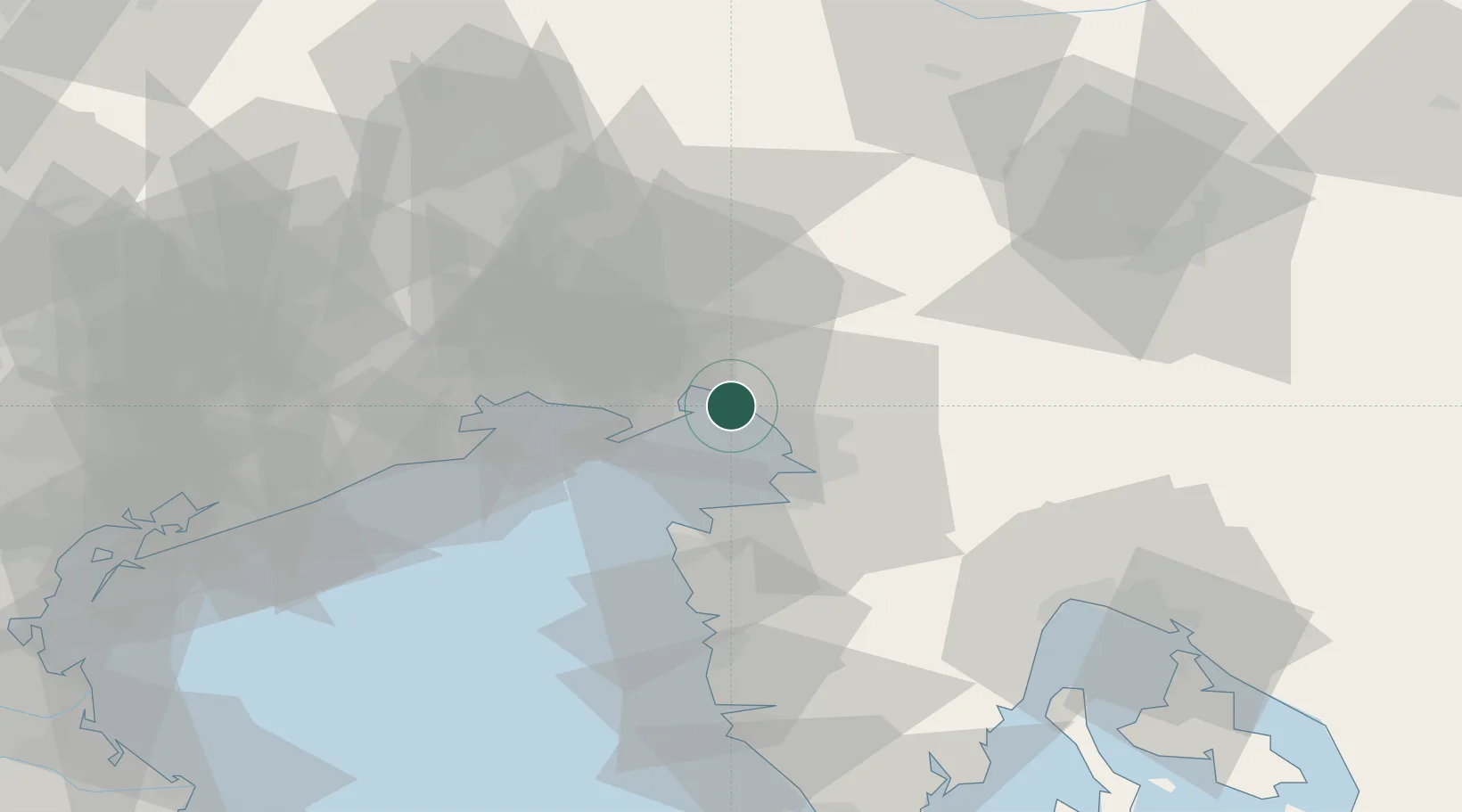
Nearby Logistics Neighbours

Cities
  1. 1Aurisina3 km
  2. 2Duino4 km
  3. 3Ronchi dei Legionari12 km
  4. 4Miren15 km
  5. 5Volcja Draga17 km
Nearest neighbours — logibook spatial index (haversine) over the source coordinates
Ports
  1. 1Monfalcone8 km
  2. 2Trieste14 km
  3. 3Muggia20 km
  4. 4Koper24 km
  5. 5Piran25 km
Nearest neighbours — logibook spatial index (haversine) over the source coordinates
Airports
  1. 1Trieste Airport15 km
  2. 2Portorož Airport31 km
  3. 3Udine-Rivolto Air Base52 km
  4. 4Ljubljana Jože Pučnik Airport83 km
  5. 5Aviano Air Base86 km
Nearest neighbours — logibook spatial index (haversine) over the source coordinates
Trade Zones
  1. 1Free Port of Trieste15 km
  2. 2Port of Rijeka Free Zone79 km
  3. 3Free Zone Kukuljanovo83 km
  4. 4Port of Pula Free Zone100 km
  5. 5Free Port of Venice109 km
Nearest neighbours — logibook spatial index (haversine) over the source coordinates
DatabookThe Record of Consolidated Knowledge
Italy beyond logistics?
Browse databook

All Sources

LocationsUN/LOCODE
UN/LOCODE — free
Portsthe NGA World Port Index
Public domain (US gov)
AirportsOurAirports
Public domain
Trade Zonesthe World Bank SEZ database
CC BY 4.0
Trade ZonesOpen Zone Map
CC BY
← Italy locations