Transport Functions
Port
Rail
Road
Multimodal
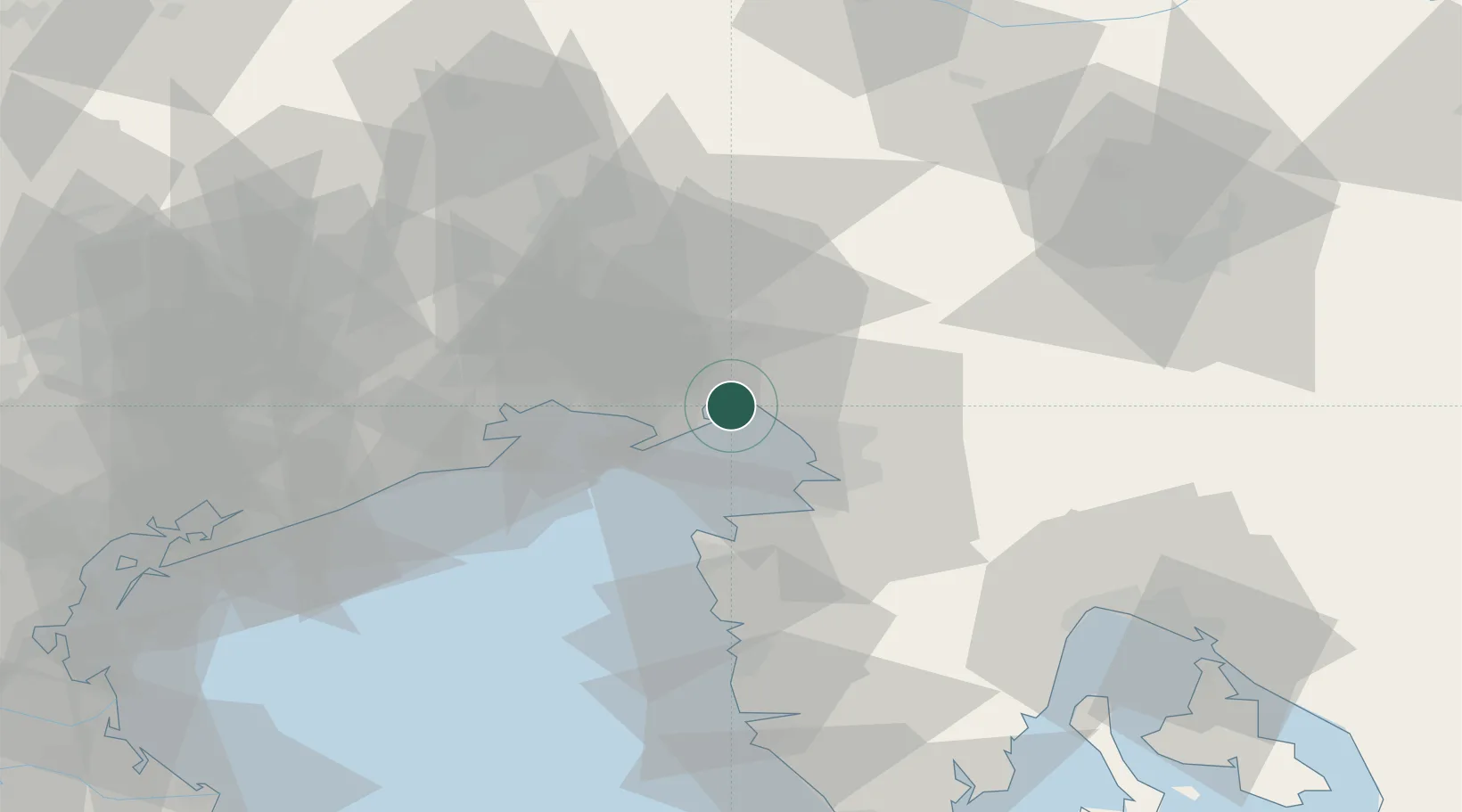
Hub Profile
Place type
Populated place
Region
Friuli Venezia Giulia
Population
1,369
Time zone
Europe/Rome
Elevation
39 m
Location
Nearby Logistics Neighbours
Cities
- 1Sistiana4 km
- 2Aurisina8 km
- 3Ronchi dei Legionari8 km
- 4Turriaco13 km
- 5Miren13 km
Ports
- 1Monfalcone3 km
- 2Trieste18 km
- 3Muggia23 km
- 4Grado24 km
- 5Piran26 km
Airports
- 1Trieste Airport11 km
- 2Portorož Airport33 km
- 3Udine-Rivolto Air Base48 km
- 4Aviano Air Base82 km
- 5Ljubljana Jože Pučnik Airport85 km
Trade Zones
- 1Free Port of Trieste19 km
- 2Port of Rijeka Free Zone83 km
- 3Free Zone Kukuljanovo87 km
- 4Port of Pula Free Zone102 km
- 5Free Port of Venice106 km
DatabookThe Record of Consolidated Knowledge
Italy beyond logistics?