Transport Functions
Rail
Road
Multimodal
Hub Profile
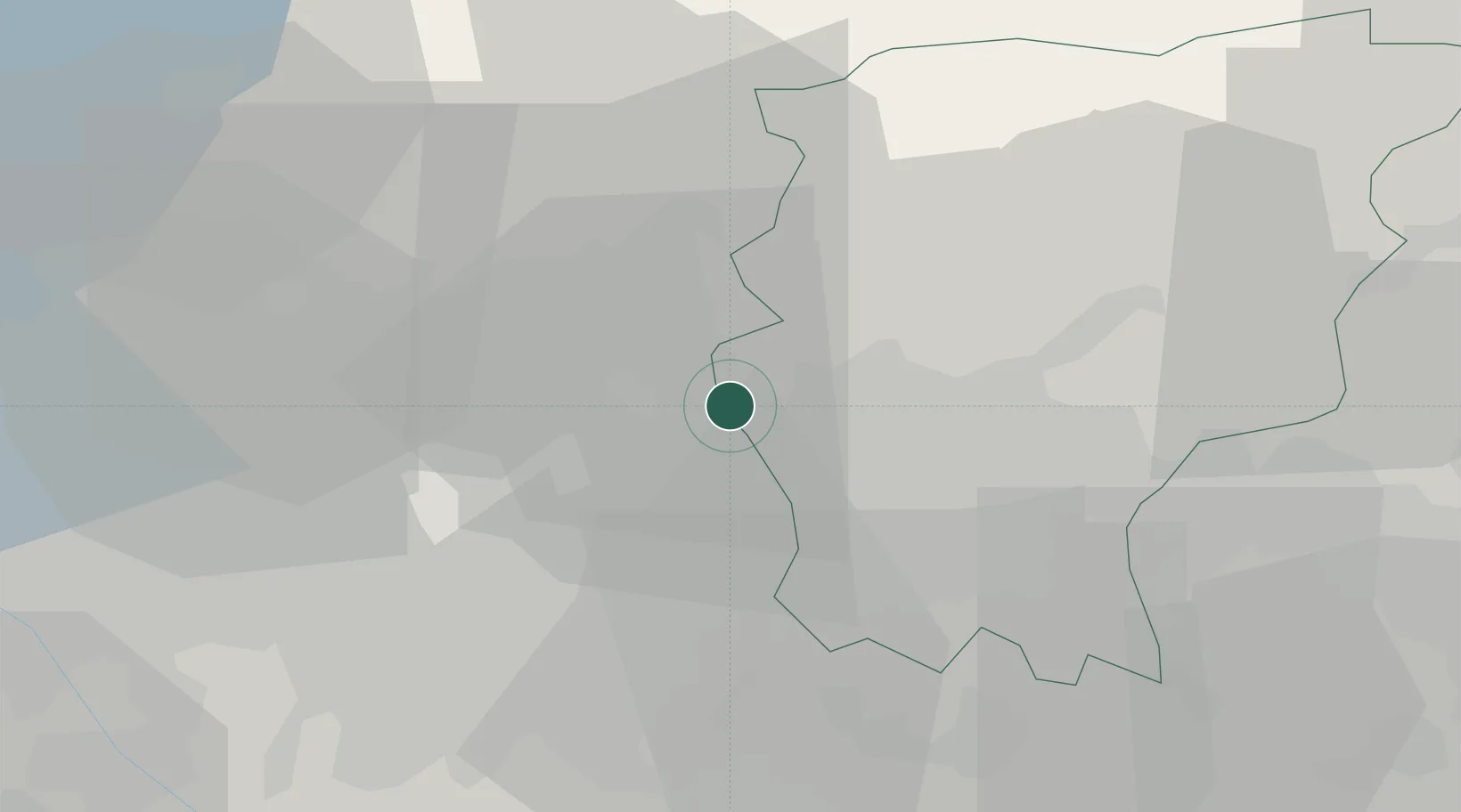
Place type
District seat
Region
Lombardy
Population
4,618
Time zone
Europe/Rome
Elevation
287 m
Location
Nearby Logistics Neighbours
Cities
- 1Villa d'Adda2 km
- 2Verderio Superiore5 km
- 3Mapello5 km
- 4Caprino Bergamasco6 km
- 5Verderio Inferiore6 km
Ports
- 1Genova151 km
- 2Chiavari - Lavagna156 km
- 3Savona172 km
- 4Rada Di Vado178 km
- 5La Spezia180 km
Airports
Trade Zones
DatabookThe Record of Consolidated Knowledge
Italy beyond logistics?