UN/LOCODE hub · Italy
ITVSR
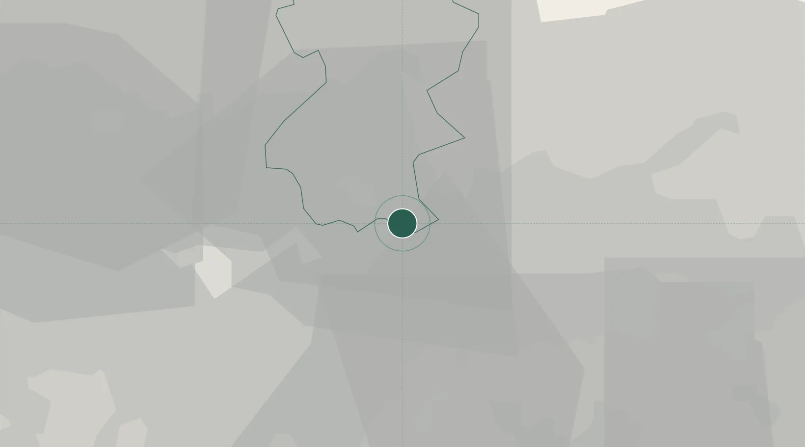
Verderio Superiore
45.6667°, 9.4333°
2,545
Population
3
Transport functions
Transport Functions
Rail
Road
Multimodal
Hub Profile
Place type
District seat
Region
Lombardy
Population
2,545
Time zone
Europe/Rome
Elevation
250 m
Location
Nearby Logistics Neighbours
Cities
- 1Verderio Inferiore2 km
- 2Ronco Briantino3 km
- 3Aicurzio4 km
- 4Carvico5 km
- 5Villa d'Adda6 km
Ports
- 1Genova147 km
- 2Chiavari - Lavagna152 km
- 3Savona167 km
- 4Rada Di Vado174 km
- 5La Spezia177 km
Airports
Trade Zones
DatabookThe Record of Consolidated Knowledge
Italy beyond logistics?