Transport Functions
Road
Multimodal
Hub Profile
Place type
District seat
Region
Lombardy
Population
4,530
Time zone
Europe/Rome
Elevation
286 m
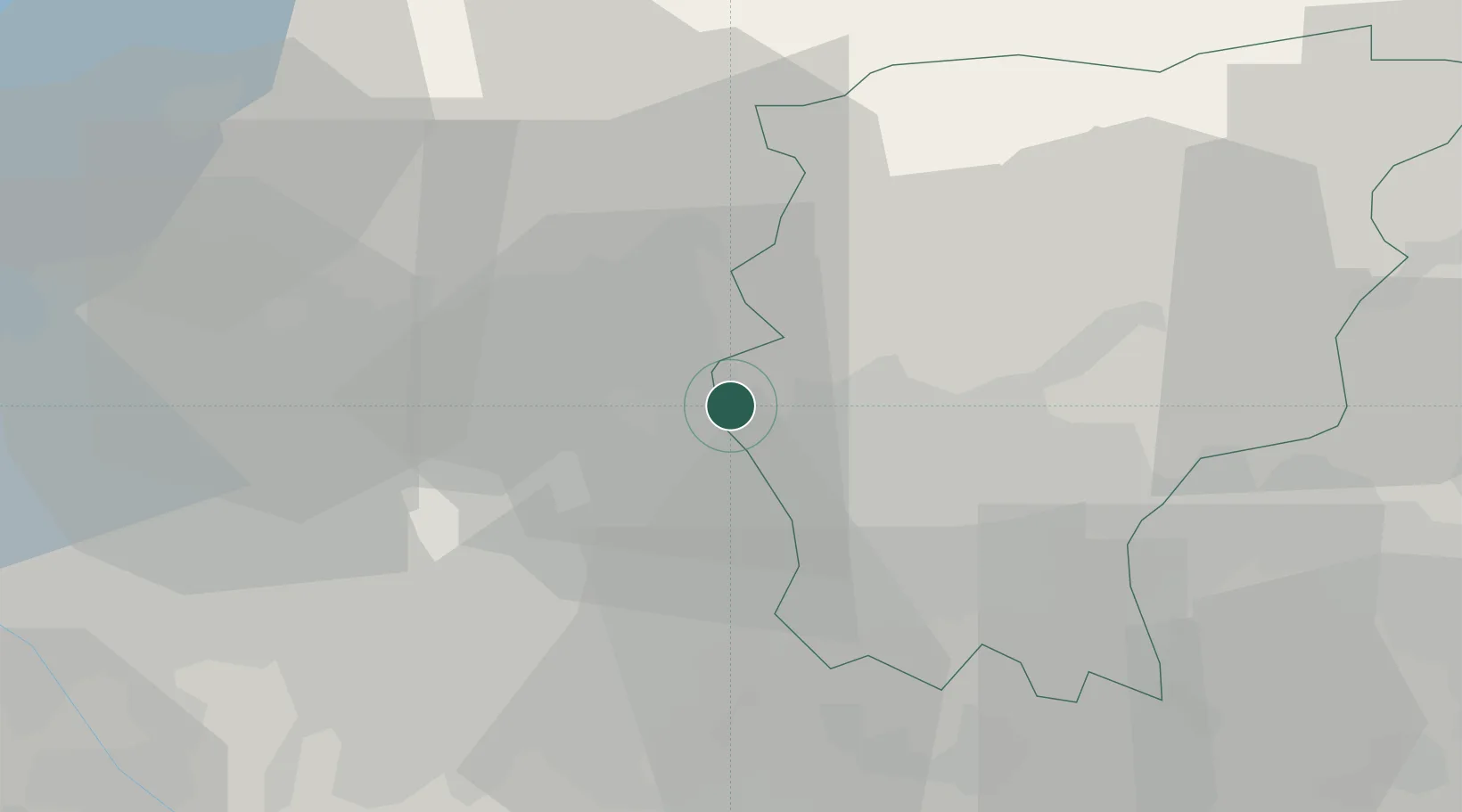
Location
Nearby Logistics Neighbours
Cities
- 1Carvico2 km
- 2Caprino Bergamasco4 km
- 3Mapello6 km
- 4Monte Marenzo6 km
- 5Verderio Superiore6 km
Ports
- 1Genova153 km
- 2Chiavari - Lavagna157 km
- 3Savona173 km
- 4Rada Di Vado180 km
- 5La Spezia182 km
Airports
Trade Zones
DatabookThe Record of Consolidated Knowledge
Italy beyond logistics?