UN/LOCODE hub · Italy
ITZWL
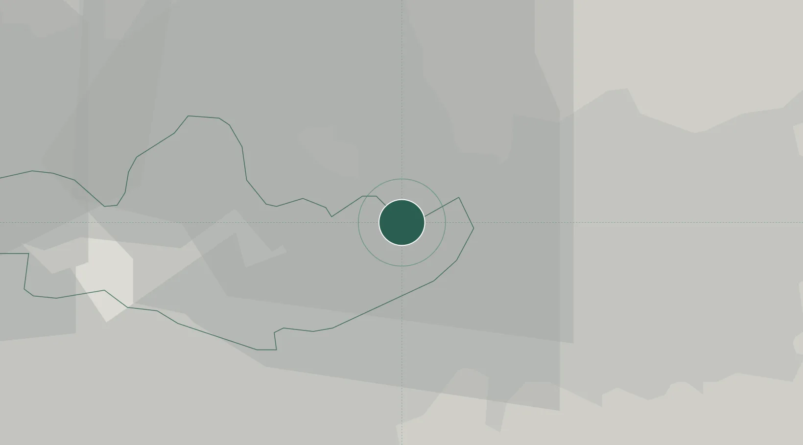
Verderio Inferiore
45.6500°, 9.4333°
2,691
Population
1
Transport functions
Transport Functions
Multimodal
Hub Profile
Place type
District seat
Region
Lombardy
Population
2,691
Time zone
Europe/Rome
Elevation
249 m
Location
Nearby Logistics Neighbours
Cities
- 1Verderio Superiore2 km
- 2Aicurzio2 km
- 3Ronco Briantino3 km
- 4Bottanuco6 km
- 5Carvico6 km
Ports
- 1Genova145 km
- 2Chiavari - Lavagna150 km
- 3Savona165 km
- 4Rada Di Vado172 km
- 5La Spezia175 km
Airports
Trade Zones
DatabookThe Record of Consolidated Knowledge
Italy beyond logistics?