Transport Functions
Multimodal
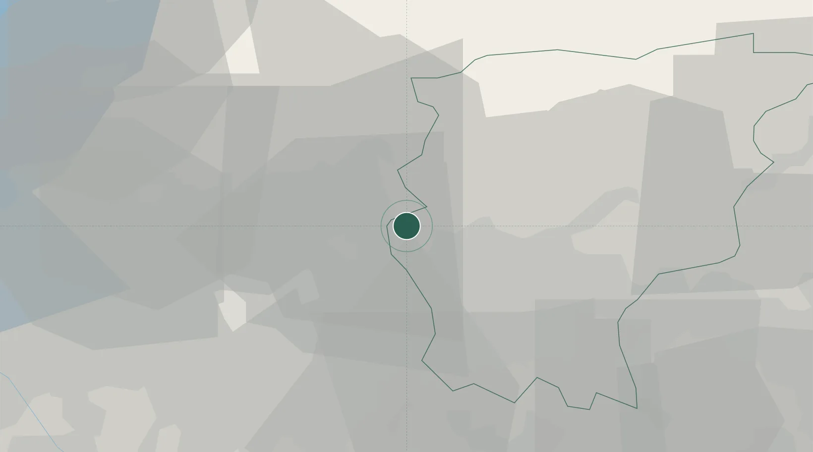
Hub Profile
Region
BG
Location
Nearby Logistics Neighbours
Cities
- 1Monte Marenzo3 km
- 2Villa d'Adda4 km
- 3Carvico6 km
- 4Almenno San Bartolomeo7 km
- 5Barzana7 km
Ports
- 1Genova157 km
- 2Chiavari - Lavagna161 km
- 3Savona177 km
- 4Rada Di Vado184 km
- 5La Spezia186 km
Airports
Trade Zones
DatabookThe Record of Consolidated Knowledge
Italy beyond logistics?