Large airport · Italy
Il Caravaggio International AirportLIME
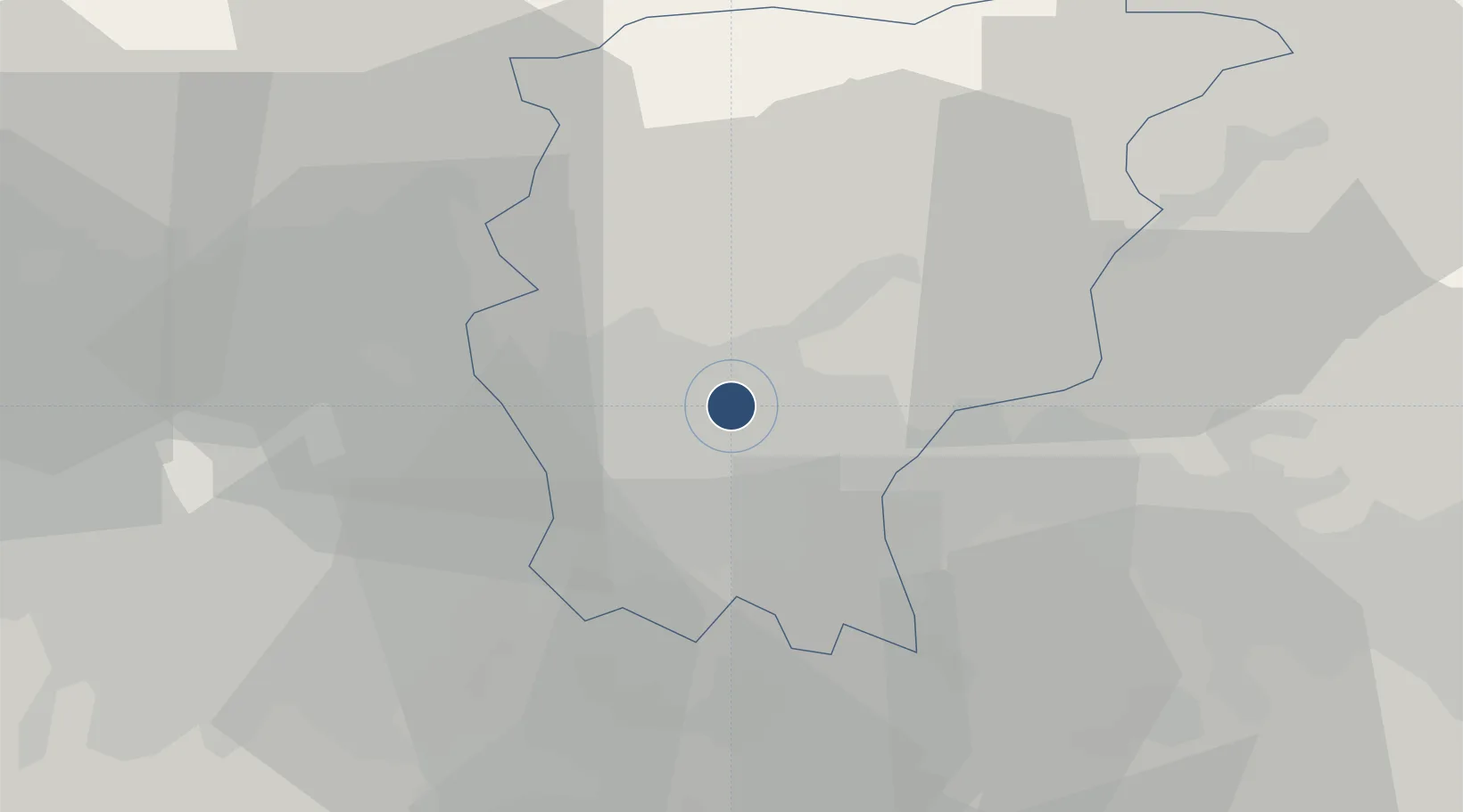
45.6694°, 9.7089°
9,429 ft
Longest runway
2
Runways
782 ft
Elevation
Runway & Layout

Radio Frequencies
ATIS
112.6 MHz
TWR
126.875 MHz
ORIO TWR
GND
120.5 MHz
ORIO GND
APP
126.75 MHz
MILANO APP
Navaids
BEG VOR-DME BERGAMO 11.49 MHz
ORI NDB Orio Al Serio 377 kHz
Runways · 2
| Runway | Dimensions | Surface | True heading | Lit |
|---|---|---|---|---|
| 10/28 | 9,429 × 148ft | Asphalt | 105° | ✓ |
| 12/30 | 2,343 × 59ft | Asphalt | 121° | — |
Airport Specifications
IATA code
BGY
ICAO code
LIME
Airport class
Large airport
Scheduled service
Yes
Runway surface
Asphalt
Served city
Orio al Serio (BG)
Location
Nearby Logistics Neighbours
Airports
- 1Milano Linate Airport42 km
- 2Ghedi Air Base51 km
- 3Brescia Gabriele d'Annunzio Airport55 km
- 4Varese-Venegono Airport64 km
- 5Lugano Airport72 km
Cities
- 1Orio Al Serio2 km
- 2Scanzorosciate6 km
- 3Montello7 km
- 4San Paolo d'Argon7 km
- 5Treviolo9 km
Ports
- 1Genova154 km
- 2Chiavari - Lavagna155 km
- 3La Spezia175 km
- 4Savona178 km
- 5Marina Di Carrara185 km
Trade Zones
DatabookThe Record of Consolidated Knowledge
Italy beyond logistics?