Transport Functions
Port
Road
Hub Profile
Place type
District seat
Region
Liguria
Population
10,623
Time zone
Europe/Rome
Elevation
6 m
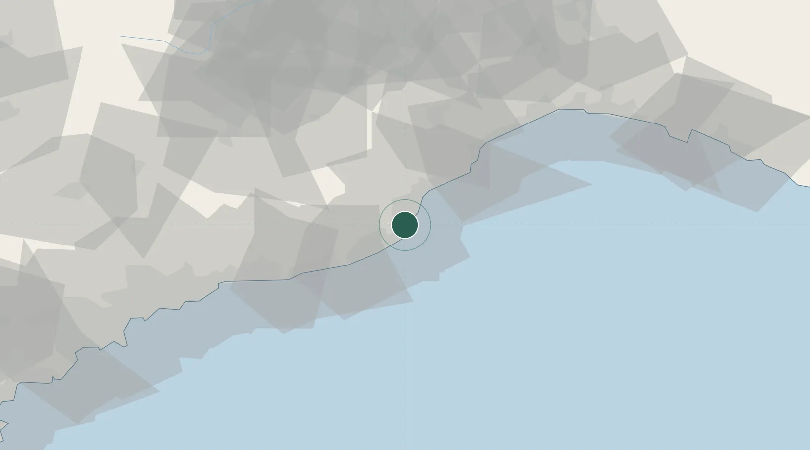
Location
Nearby Logistics Neighbours
Cities
- 1Leca6 km
- 2Andora6 km
- 3Villanova d'Albenga7 km
- 4Chiusavecchia15 km
- 5Imperia16 km
Ports
- 1Imperia17 km
- 2San Remo37 km
- 3Rada Di Vado37 km
- 4Savona44 km
- 5Monaco67 km
Airports
Trade Zones
- 1ZFU LAriane76 km
- 2ZFU Toulon204 km
- 3ZFU La Seyne-sur-Mer213 km
- 4Magazzini Generali Con Chiasso214 km
- 5Aosta Valley220 km
DatabookThe Record of Consolidated Knowledge
Italy beyond logistics?