Transport Functions
Multimodal
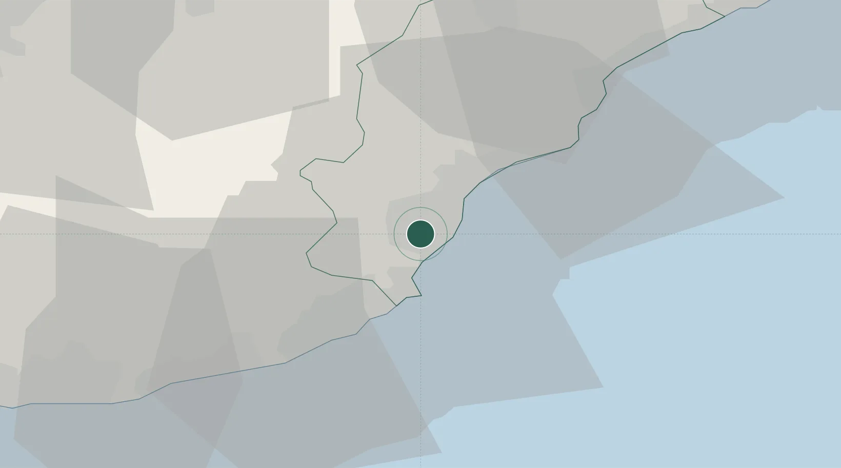
Location
Nearby Logistics Neighbours
Cities
- 1Villanova d'Albenga4 km
- 2Alassio6 km
- 3Andora11 km
- 4Loano11 km
- 5Chiusavecchia17 km
Ports
- 1Imperia21 km
- 2Rada Di Vado33 km
- 3Savona40 km
- 4San Remo40 km
- 5Monaco70 km
Airports
Trade Zones
- 1ZFU LAriane78 km
- 2ZFU Toulon207 km
- 3Magazzini Generali Con Chiasso209 km
- 4Aosta Valley215 km
- 5ZFU La Seyne-sur-Mer216 km
DatabookThe Record of Consolidated Knowledge
Italy beyond logistics?