Transport Functions
Port
Road
Hub Profile
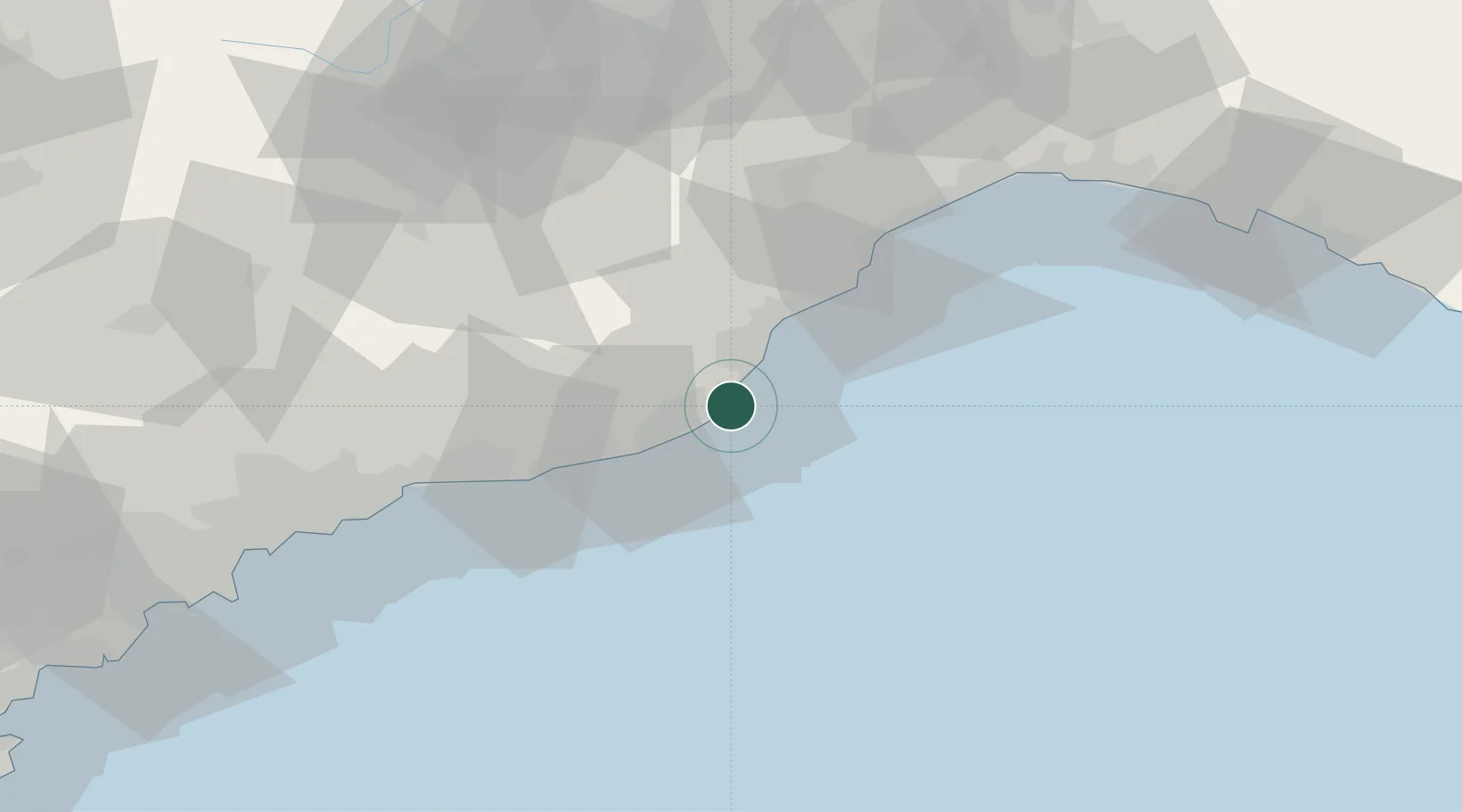
Place type
District seat
Region
Liguria
Population
6,767
Time zone
Europe/Rome
Elevation
7 m
Location
Nearby Logistics Neighbours
Cities
- 1Alassio6 km
- 2Imperia11 km
- 3Leca11 km
- 4Villanova d'Albenga11 km
- 5Chiusavecchia14 km
Ports
- 1Imperia12 km
- 2San Remo33 km
- 3Rada Di Vado43 km
- 4Savona49 km
- 5Monaco64 km
Airports
Trade Zones
- 1ZFU LAriane73 km
- 2ZFU Toulon201 km
- 3ZFU La Seyne-sur-Mer209 km
- 4Magazzini Generali Con Chiasso220 km
- 5Aosta Valley224 km
DatabookThe Record of Consolidated Knowledge
Italy beyond logistics?