UN/LOCODE hub · Italy
ITVID
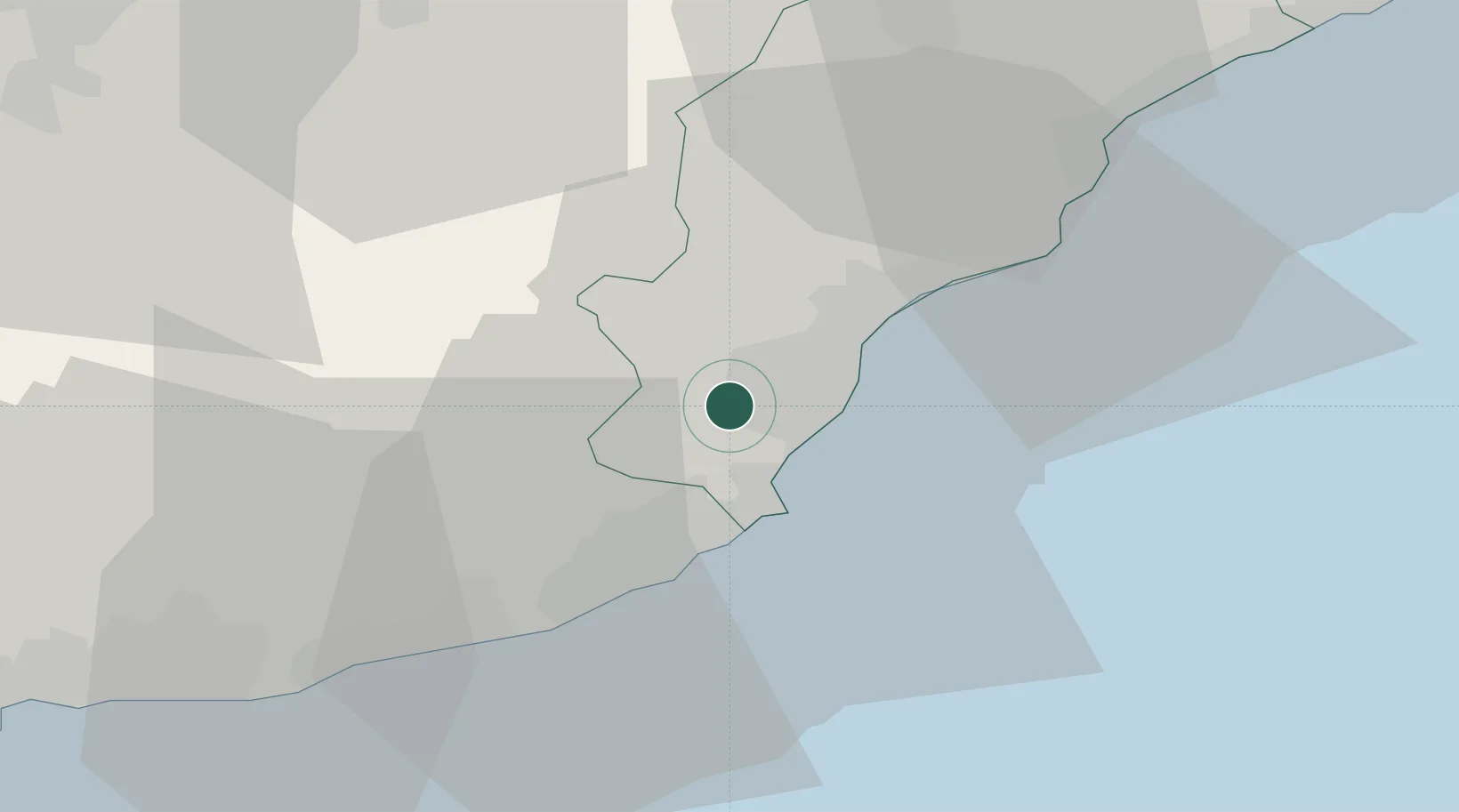
Villanova d'Albenga
44.0500°, 8.1167°
2,171
Population
2
Transport functions
Transport Functions
Road
Multimodal
Hub Profile
Place type
District seat
Region
Liguria
Population
2,171
Time zone
Europe/Rome
Elevation
29 m
Location
Nearby Logistics Neighbours
Cities
- 1Leca4 km
- 2Alassio7 km
- 3Andora11 km
- 4Loano14 km
- 5Chiusavecchia14 km
Ports
- 1Imperia20 km
- 2Rada Di Vado36 km
- 3San Remo37 km
- 4Savona43 km
- 5Monaco66 km
Airports
Trade Zones
- 1ZFU LAriane75 km
- 2ZFU Toulon204 km
- 3Magazzini Generali Con Chiasso210 km
- 4ZFU La Seyne-sur-Mer212 km
- 5Aosta Valley213 km
DatabookThe Record of Consolidated Knowledge
Italy beyond logistics?