UN/LOCODE hub · Italy
ITZAR
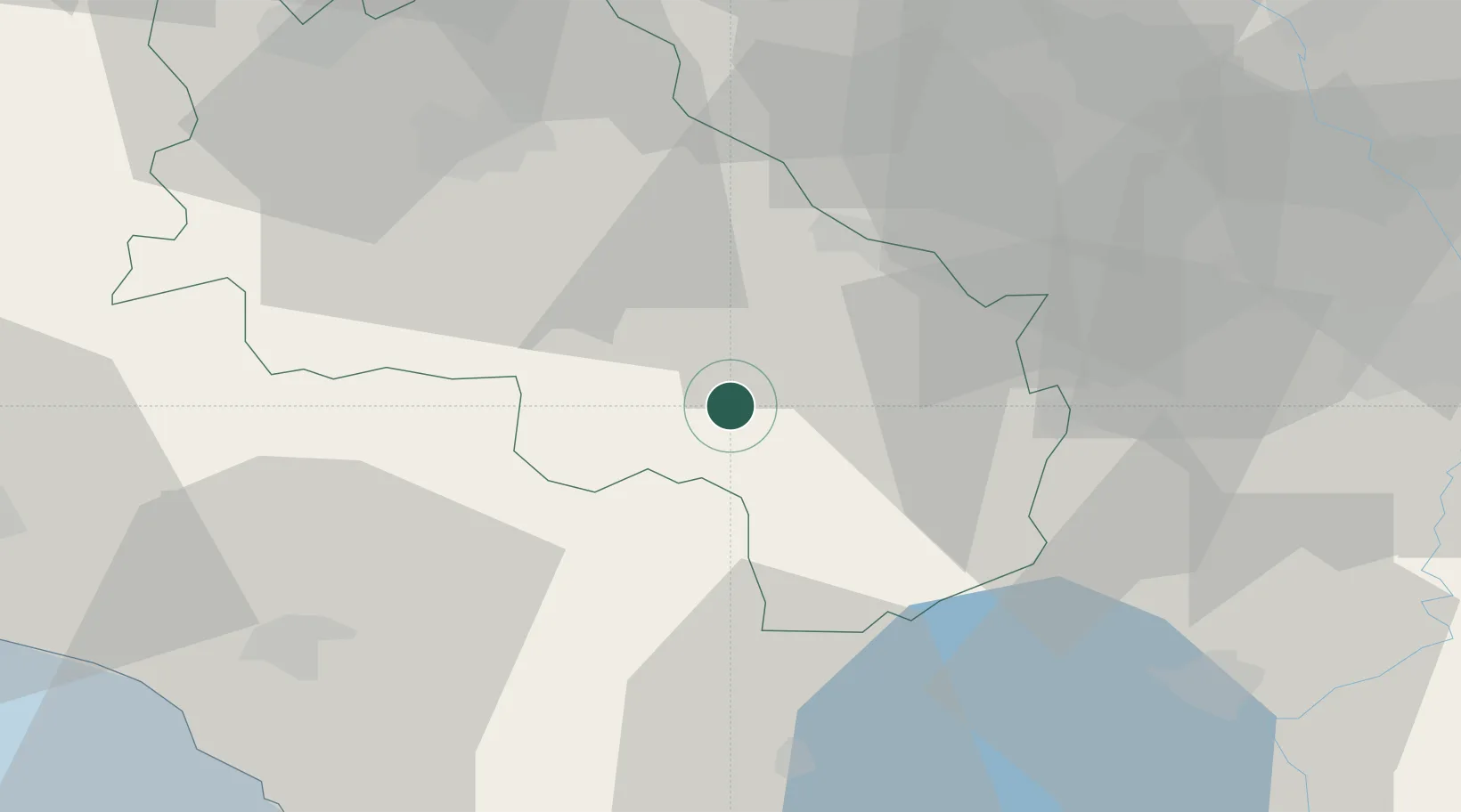
San Quirico d'Orcia
43.0500°, 11.6000°
2,467
Population
1
Transport functions
Transport Functions
Multimodal
Hub Profile
Place type
District seat
Region
Tuscany
Population
2,467
Time zone
Europe/Rome
Elevation
409 m
Location
Nearby Logistics Neighbours
Cities
- 1Montefollonico15 km
- 2Trequanda16 km
- 3Torrita di Siena19 km
- 4Asciano21 km
- 5Radicofani22 km
Ports
- 1Porto Santo Stefano78 km
- 2Porto Ercole79 km
- 3Portovecchio Di Piombino86 km
- 4Giglio Porto95 km
- 5Vada99 km
Airports
Trade Zones
DatabookThe Record of Consolidated Knowledge
Italy beyond logistics?