UN/LOCODE hub · India
INSBC

Biocon-SEZ/Bangalore

12.9833°, 77.5833°
1
Transport functions

Transport Functions

Multimodal
UN/LOCODE

Hub Profile

Region
KA
GeoNames

Location

Location of INSBC
Natural Earth 10m (public domain) · KA · INSBC · 12.98, 77.58GoogleOSMYandex

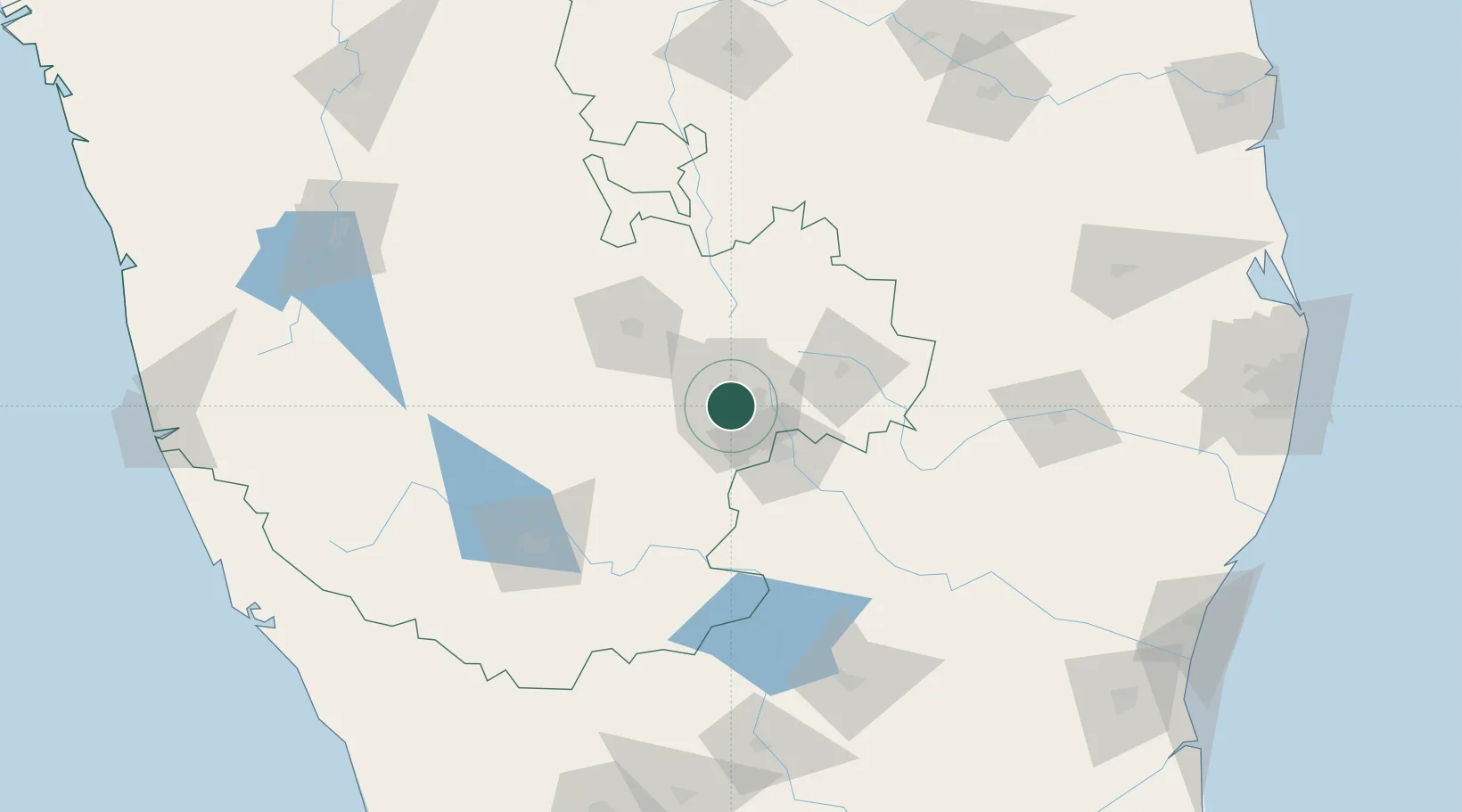
Nearby Logistics Neighbours

Cities
  1. 1Kbits-SEZ/Bangalore0 km
  2. 2GOCL SEZ/Bangalore0 km
  3. 3Sdpl Sez/Bangalore9 km
  4. 4Apllp Sez/Bangalore12 km
  5. 5Modern Asset Sezii/Yelahanka Hobli13 km
Nearest neighbours — logibook spatial index (haversine) over the source coordinates
Ports
  1. 1Pondicherry271 km
  2. 2Azhikal (Azhikkal)273 km
  3. 3Cuddalore276 km
  4. 4Calicut (Kozhikode)276 km
  5. 5Beypore280 km
Nearest neighbours — logibook spatial index (haversine) over the source coordinates
Airports
  1. 1HAL Airport10 km
  2. 2Jakkur Aerodrome11 km
  3. 3Kempegowda International Airport Bengaluru27 km
  4. 4Mysore Airport131 km
  5. 5Sri Sathya Sai Airport132 km
Nearest neighbours — logibook spatial index (haversine) over the source coordinates
DatabookThe Record of Consolidated Knowledge
India beyond logistics?
Browse databook

All Sources

LocationsUN/LOCODE
UN/LOCODE — free
Portsthe NGA World Port Index
Public domain (US gov)
AirportsOurAirports
Public domain
Trade Zonesthe World Bank SEZ database
CC BY 4.0
Trade ZonesOpen Zone Map
CC BY
← India locations