Transport Functions
Rail
Road
Airport
Multimodal
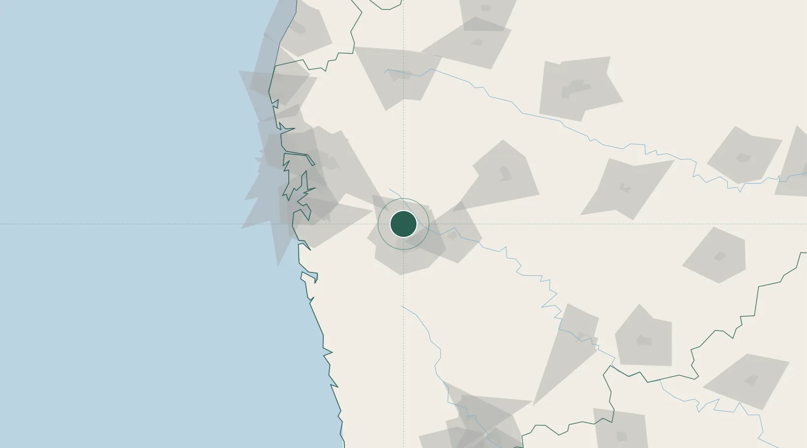
Hub Profile
Place type
Populated place
Region
Maharashtra
Population
3,124,458
Time zone
Asia/Kolkata
Elevation
554 m
Logistics facilities
8
Location
Nearby Logistics Neighbours
Cities
- 1Chinchwad Station8 km
- 2Wipro Sez/Hinjewadi12 km
- 3Talegaon Dabhade16 km
- 4EKIPL SEZ/Pune19 km
- 5ITL SEZ/Pune19 km
Ports
- 1Jawaharlal Nehru Port (Nhava Shiva)96 km
- 2Mumbai (Bombay)105 km
- 3Port Dabhol142 km
- 4Jaigarh Bay168 km
- 5Ratnagiri199 km
Airports
Trade Zones
DatabookThe Record of Consolidated Knowledge
India beyond logistics?