Transport Functions
Multimodal
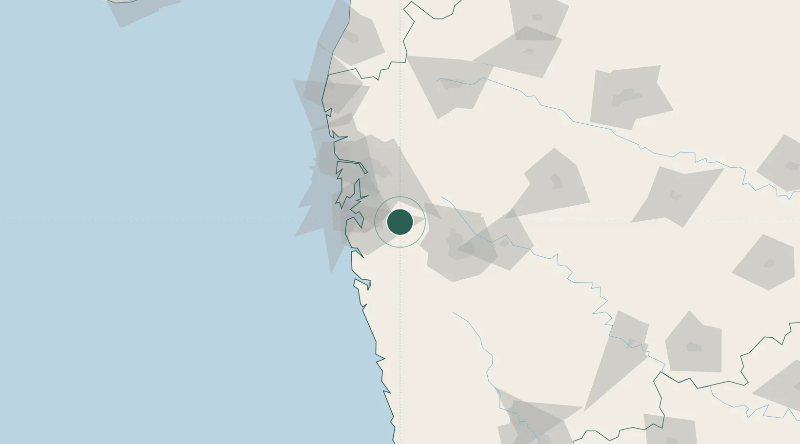
Hub Profile
Place type
Populated place
Region
Maharashtra
Population
71,141
Time zone
Asia/Kolkata
Elevation
89 m
Location
Nearby Logistics Neighbours
Cities
- 1IT-ITES-C-SEZ/Ulwe4 km
- 2Khalapur8 km
- 3PDPL SEZ/Raigarh31 km
- 4SVRL SEZ/Raigad33 km
- 5Arshiya International Ltd.-SEZ/Panvel33 km
Ports
- 1Jawaharlal Nehru Port (Nhava Shiva)44 km
- 2Mumbai (Bombay)53 km
- 3Port Dabhol135 km
- 4Jaigarh Bay165 km
- 5Ratnagiri200 km
Airports
Trade Zones
- 1Embassy Quadron Tech Park44 km
- 2Pune Embassy India Pvt Ltd45 km
- 3Infosys Limited47 km
- 4Syntel International Pvt Ltd48 km
- 5Bajaj Auto Limited49 km
DatabookThe Record of Consolidated Knowledge
India beyond logistics?