Transport Functions
Multimodal
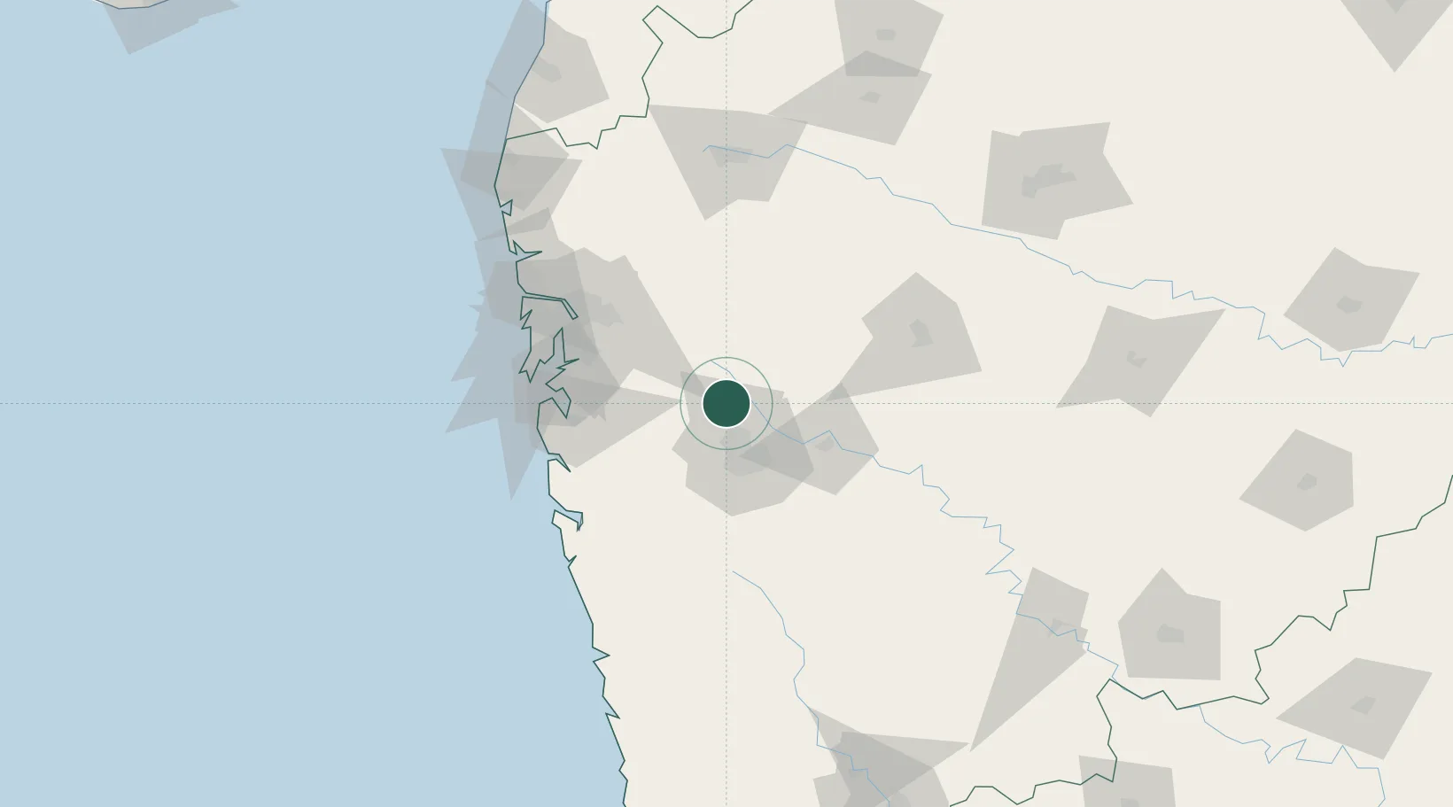
Hub Profile
Region
MH
Location
Nearby Logistics Neighbours
Cities
- 1Talegaon Dabhade8 km
- 2Pune12 km
- 3Chinchwad Station19 km
- 4Wada21 km
- 5EKIPL SEZ/Pune32 km
Ports
- 1Jawaharlal Nehru Port (Nhava Shiva)88 km
- 2Mumbai (Bombay)97 km
- 3Port Dabhol149 km
- 4Jaigarh Bay177 km
- 5Ratnagiri208 km
Airports
Trade Zones
- 1Bajaj Auto Limited6 km
- 2Syntel International Pvt Ltd10 km
- 3Pune Embassy India Pvt Ltd23 km
- 4Infosys Limited23 km
- 5Embassy Quadron Tech Park25 km
DatabookThe Record of Consolidated Knowledge
India beyond logistics?