UN/LOCODE hub · India
INTGD
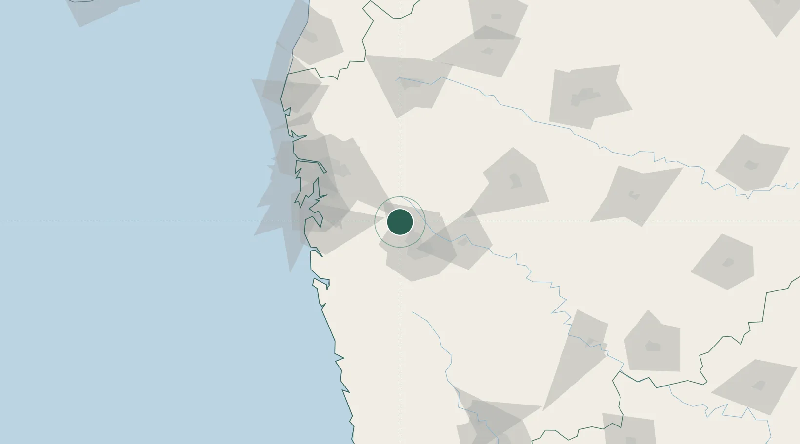
Talegaon Dabhade
18.7777°, 73.6923°
56,435
Population
1
Transport functions
Transport Functions
Multimodal
Hub Profile
Place type
Populated place
Region
Maharashtra
Population
56,435
Time zone
Asia/Kolkata
Elevation
632 m
Logistics facilities
1
Location
Nearby Logistics Neighbours
Cities
- 1Wipro Sez/Hinjewadi8 km
- 2Pune16 km
- 3Chinchwad Station19 km
- 4Wada24 km
- 5EKIPL SEZ/Pune33 km
Ports
- 1Jawaharlal Nehru Port (Nhava Shiva)80 km
- 2Mumbai (Bombay)89 km
- 3Port Dabhol144 km
- 4Jaigarh Bay172 km
- 5Ratnagiri204 km
Airports
Trade Zones
- 1Bajaj Auto Limited12 km
- 2Syntel International Pvt Ltd12 km
- 3Pune Embassy India Pvt Ltd20 km
- 4Infosys Limited21 km
- 5Embassy Quadron Tech Park21 km
DatabookThe Record of Consolidated Knowledge
India beyond logistics?