Transport Functions
Rail
Road
Hub Profile
Place type
Populated place
Region
Maharashtra
Time zone
Asia/Kolkata
Elevation
22 m
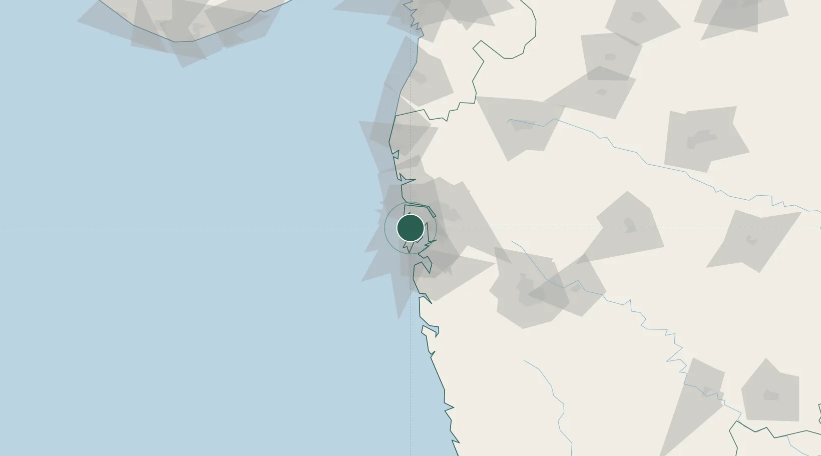
Location
Nearby Logistics Neighbours
Cities
Ports
- 1Mumbai (Bombay)17 km
- 2Jawaharlal Nehru Port (Nhava Shiva)22 km
- 3Port Dabhol174 km
- 4Jaigarh Bay206 km
- 5Hazira220 km
Airports
DatabookThe Record of Consolidated Knowledge
India beyond logistics?