Transport Functions
Road
Multimodal
Hub Profile
Place type
Urban district
Region
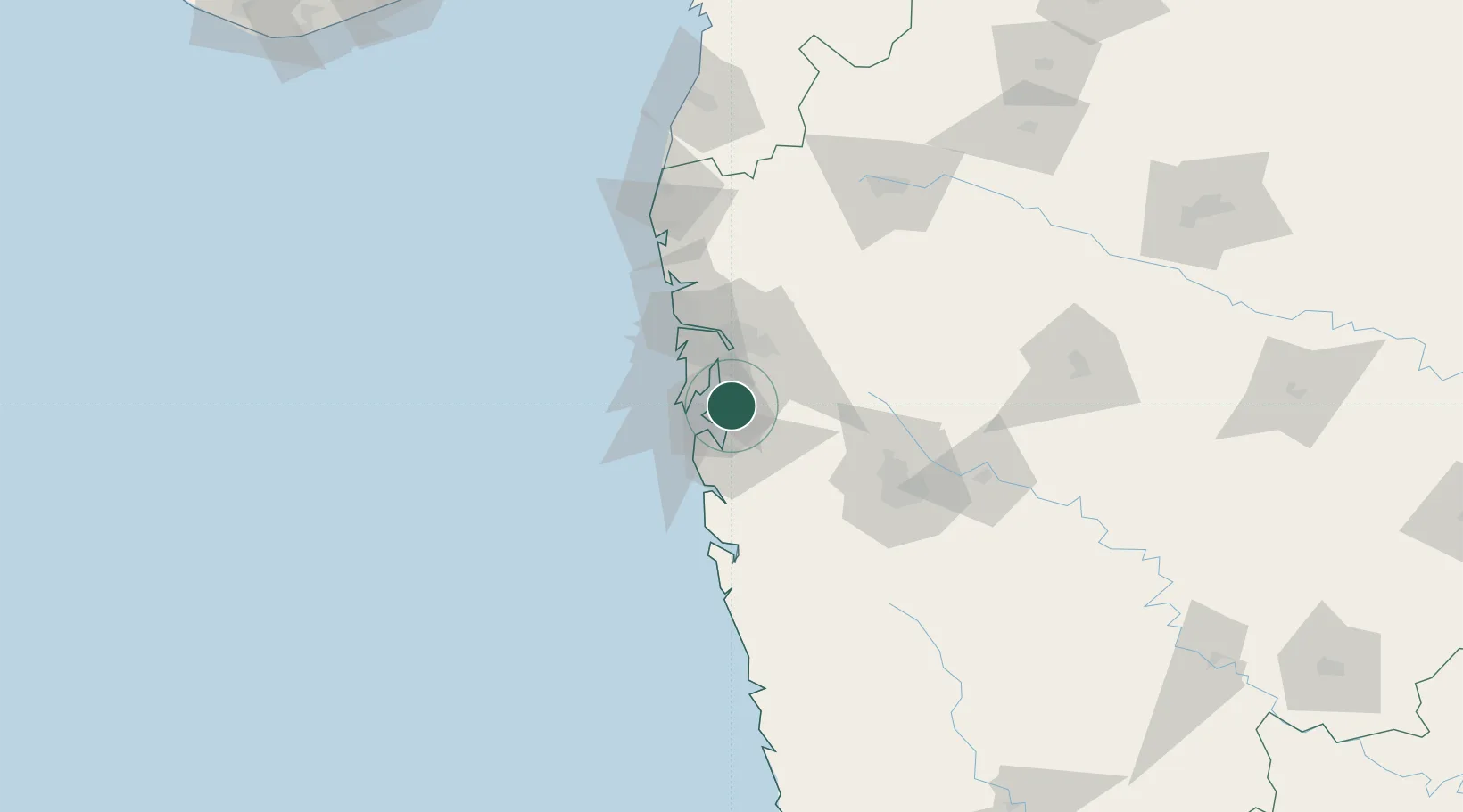
Maharashtra
Population
2,600,000
Time zone
Asia/Kolkata
Elevation
14 m
Logistics facilities
6
Location
Nearby Logistics Neighbours
Cities
Ports
- 1Jawaharlal Nehru Port (Nhava Shiva)10 km
- 2Mumbai (Bombay)19 km
- 3Port Dabhol151 km
- 4Jaigarh Bay183 km
- 5Ratnagiri219 km
Airports
Trade Zones
DatabookThe Record of Consolidated Knowledge
India beyond logistics?