UN/LOCODE hub · India
INNSA
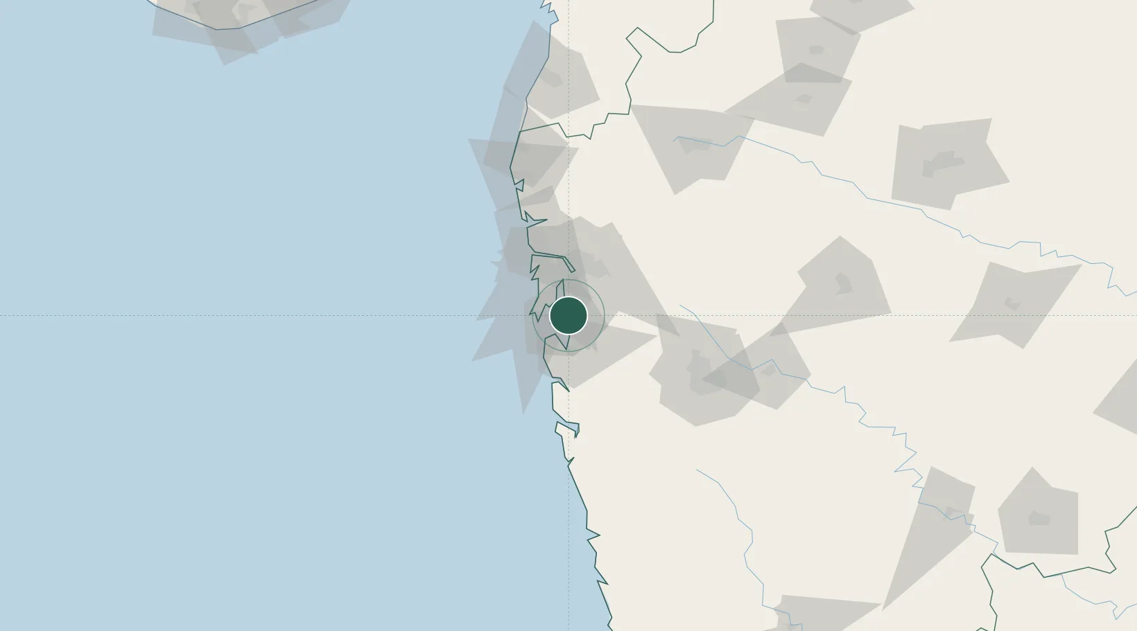
Jawaharlal Nehru (Nhava Sheva)
18.9401°, 73.0092°
1
Transport functions
6
Container terminals
Transport Functions
Port
Hub Profile
Region
MH
Logistics facilities
147
Container terminals
6
Location
Nearby Logistics Neighbours
Cities
- 1Navi Mumbai3 km
- 2Nhave5 km
- 3PDPL SEZ/Raigarh9 km
- 4Uran10 km
- 5SVRL SEZ/Raigad11 km
Ports
- 1Mumbai (Bombay)15 km
- 2Port Dabhol152 km
- 3Jaigarh Bay184 km
- 4Ratnagiri220 km
- 5Hazira242 km
Airports
Trade Zones
DatabookThe Record of Consolidated Knowledge
India beyond logistics?