UN/LOCODE hub · India
INPNL

PDPL SEZ/Raigarh

18.8667°, 73.0500°
1
Transport functions

Transport Functions

Multimodal
UN/LOCODE

Hub Profile

Region
MH
GeoNames

Location

Location of INPNL
Natural Earth 10m (public domain) · MH · INPNL · 18.87, 73.05GoogleOSMYandex

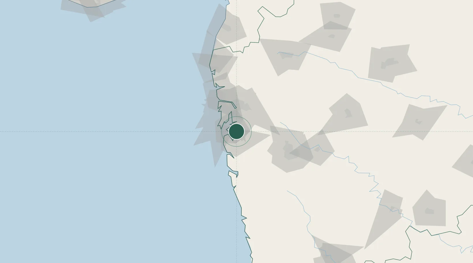
Nearby Logistics Neighbours

Cities
  1. 1Navi Mumbai8 km
  2. 2Jawaharlal Nehru (Nhava Sheva)9 km
  3. 3Nhave11 km
  4. 4Uran12 km
  5. 5SVRL SEZ/Raigad14 km
Nearest neighbours — logibook spatial index (haversine) over the source coordinates
Ports
  1. 1Jawaharlal Nehru Port (Nhava Shiva)14 km
  2. 2Mumbai (Bombay)22 km
  3. 3Port Dabhol143 km
  4. 4Jaigarh Bay175 km
  5. 5Ratnagiri211 km
Nearest neighbours — logibook spatial index (haversine) over the source coordinates
Airports
  1. 1Navi Mumbai International Airport13 km
  2. 2Chhatrapati Shivaji Maharaj International Airport31 km
  3. 3Pune International Airport97 km
  4. 4Nashik International Airport166 km
  5. 5Shirdi International Airport166 km
Nearest neighbours — logibook spatial index (haversine) over the source coordinates
Trade Zones
  1. 1Lodha Dwellers Pvt. Ltd.24 km
  2. 2Bengal Shapoorji Developers Pvt. Ltd.24 km
  3. 3The Manjri Stud Farm Pvt.Ltd24 km
  4. 4Arshiya Northern Ftwz Limited28 km
  5. 5M S. Arshiya International Ltd.28 km
Nearest neighbours — logibook spatial index (haversine) over the source coordinates
DatabookThe Record of Consolidated Knowledge
India beyond logistics?
Browse databook

All Sources

LocationsUN/LOCODE
UN/LOCODE — free
Portsthe NGA World Port Index
Public domain (US gov)
AirportsOurAirports
Public domain
Trade Zonesthe World Bank SEZ database
CC BY 4.0
Trade ZonesOpen Zone Map
CC BY
← India locations