Transport Functions
Road
Multimodal
Hub Profile
Place type
Populated place
Region
Tamil Nadu
Population
963,173
Time zone
Asia/Kolkata
Elevation
305 m
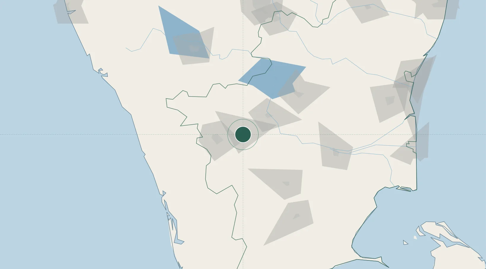
Location
Nearby Logistics Neighbours
Cities
- 1CHIPL SEZ/Coimbatore19 km
- 2Coimbatore37 km
- 3Singanallur39 km
- 4SE&C LTD-SEZ/Coimbatore43 km
- 5TDPL SEZ/Coimbatore43 km
Ports
- 1Beypore169 km
- 2Calicut (Kozhikode)174 km
- 3Kochi (Cochin)174 km
- 4Azhikal (Azhikkal)242 km
- 5Quilon (Kollam)260 km
Airports
- 1Coimbatore International Airport34 km
- 2Salem Airport110 km
- 3Cochin International Airport147 km
- 4Mysore Airport148 km
- 5Calicut International Airport152 km
DatabookThe Record of Consolidated Knowledge
India beyond logistics?