UN/LOCODE hub · India
INTNS

SSL SEZ/Tuticorin

8.7833°, 78.1333°
1
Transport functions

Transport Functions

Multimodal
UN/LOCODE

Hub Profile

Region
TN
GeoNames

Location

Location of INTNS
Natural Earth 10m (public domain) · TN · INTNS · 8.78, 78.13GoogleOSMYandex

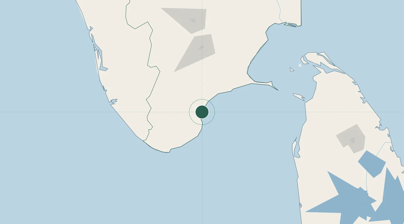
Nearby Logistics Neighbours

Cities
  1. 1Ccclil-SEZ/Tuticorin0 km
  2. 2Tuticorin1 km
  3. 3Sipcot-Gangaikondan-SEZ/Tirunelveli3 km
  4. 4New Tuticorin10 km
  5. 5ECTNL SEZ/Gangaikondan48 km
Nearest neighbours — logibook spatial index (haversine) over the source coordinates
Ports
  1. 1Tuticorin4 km
  2. 2Trivandrum134 km
  3. 3Quilon (Kollam)171 km
  4. 4Kankesanturai240 km
  5. 5Kochi (Cochin)247 km
Nearest neighbours — logibook spatial index (haversine) over the source coordinates
Airports
  1. 1Tuticorin Airport14 km
  2. 2Madurai Airport117 km
  3. 3Thiruvananthapuram International Airport138 km
  4. 4Tiruchirappalli International Airport229 km
  5. 5Jaffna International Airport240 km
Nearest neighbours — logibook spatial index (haversine) over the source coordinates
DatabookThe Record of Consolidated Knowledge
India beyond logistics?
Browse databook

All Sources

LocationsUN/LOCODE
UN/LOCODE — free
Portsthe NGA World Port Index
Public domain (US gov)
AirportsOurAirports
Public domain
Trade Zonesthe World Bank SEZ database
CC BY 4.0
Trade ZonesOpen Zone Map
CC BY
← India locations