UN/LOCODE hub · India
INNTU

New Tuticorin

8.7500°, 78.2167°
2
Transport functions

Transport Functions

Port
Road
UN/LOCODE

Hub Profile

Region
TN
GeoNames

Location

Location of INNTU
Natural Earth 10m (public domain) · TN · INNTU · 8.75, 78.22GoogleOSMYandex

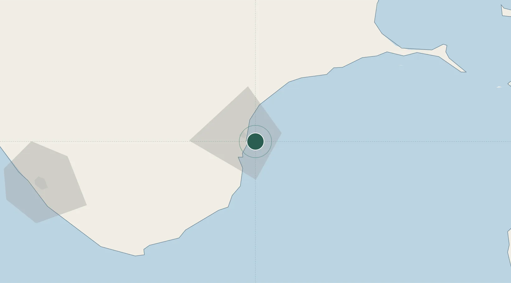
Nearby Logistics Neighbours

Cities
  1. 1Sipcot-Gangaikondan-SEZ/Tirunelveli9 km
  2. 2Ccclil-SEZ/Tuticorin10 km
  3. 3SSL SEZ/Tuticorin10 km
  4. 4Tuticorin10 km
  5. 5ECTNL SEZ/Gangaikondan57 km
Nearest neighbours — logibook spatial index (haversine) over the source coordinates
Ports
  1. 1Tuticorin8 km
  2. 2Trivandrum142 km
  3. 3Quilon (Kollam)180 km
  4. 4Kankesanturai234 km
  5. 5Kochi (Cochin)256 km
Nearest neighbours — logibook spatial index (haversine) over the source coordinates
Airports
  1. 1Tuticorin Airport21 km
  2. 2Madurai Airport121 km
  3. 3Thiruvananthapuram International Airport146 km
  4. 4Tiruchirappalli International Airport231 km
  5. 5Jaffna International Airport234 km
Nearest neighbours — logibook spatial index (haversine) over the source coordinates
DatabookThe Record of Consolidated Knowledge
India beyond logistics?
Browse databook

All Sources

LocationsUN/LOCODE
UN/LOCODE — free
Portsthe NGA World Port Index
Public domain (US gov)
AirportsOurAirports
Public domain
Trade Zonesthe World Bank SEZ database
CC BY 4.0
Trade ZonesOpen Zone Map
CC BY
← India locations