UN/LOCODE hub · India
INTEN

Sipcot-Gangaikondan-SEZ/Tirunelveli

8.8015°, 78.1569°
1
Transport functions

Transport Functions

Multimodal
UN/LOCODE

Hub Profile

Region
TN
GeoNames
Logistics facilities
1
UN/LOCODE

Location

Location of INTEN
Natural Earth 10m (public domain) · TN · INTEN · 8.80, 78.16GoogleOSMYandex

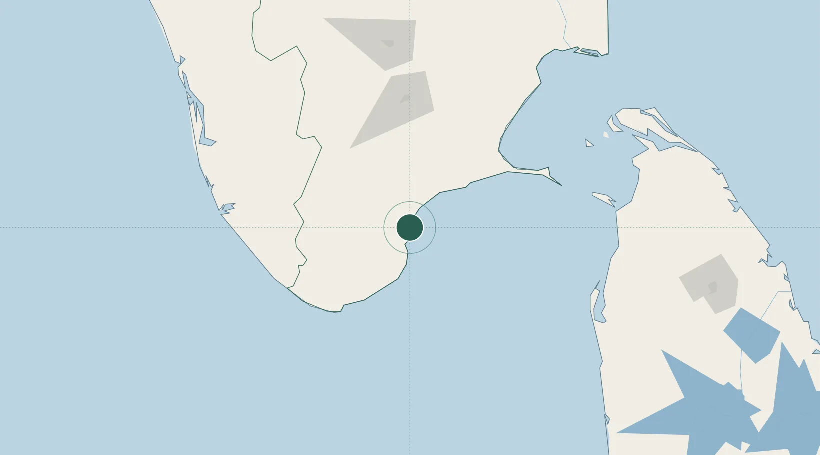
Nearby Logistics Neighbours

Cities
  1. 1Ccclil-SEZ/Tuticorin3 km
  2. 2SSL SEZ/Tuticorin3 km
  3. 3Tuticorin5 km
  4. 4New Tuticorin9 km
  5. 5ECTNL SEZ/Gangaikondan51 km
Nearest neighbours — logibook spatial index (haversine) over the source coordinates
Ports
  1. 1Tuticorin1 km
  2. 2Trivandrum137 km
  3. 3Quilon (Kollam)173 km
  4. 4Kankesanturai236 km
  5. 5Kochi (Cochin)248 km
Nearest neighbours — logibook spatial index (haversine) over the source coordinates
Airports
  1. 1Tuticorin Airport17 km
  2. 2Madurai Airport115 km
  3. 3Thiruvananthapuram International Airport141 km
  4. 4Tiruchirappalli International Airport227 km
  5. 5Jaffna International Airport237 km
Nearest neighbours — logibook spatial index (haversine) over the source coordinates
DatabookThe Record of Consolidated Knowledge
India beyond logistics?
Browse databook

All Sources

LocationsUN/LOCODE
UN/LOCODE — free
Portsthe NGA World Port Index
Public domain (US gov)
AirportsOurAirports
Public domain
Trade Zonesthe World Bank SEZ database
CC BY 4.0
Trade ZonesOpen Zone Map
CC BY
← India locations