UN/LOCODE hub · India
INCDC

DCA-II SEZ/Chandigarh

30.7333°, 76.7833°
2
Transport functions

Transport Functions

Road
Multimodal
UN/LOCODE

Hub Profile

Region
HR
GeoNames

Location

Location of INCDC
Natural Earth 10m (public domain) · HR · INCDC · 30.73, 76.78GoogleOSMYandex

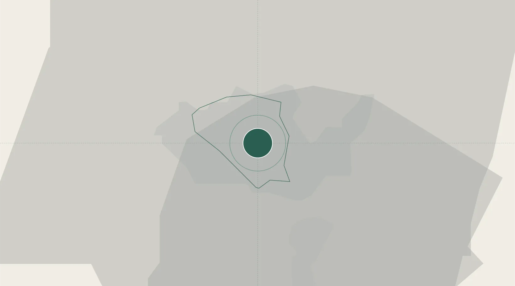
Nearby Logistics Neighbours

Cities
  1. 1DCA-I SEZ/Chandigarh0 km
  2. 2Parwanoo19 km
  3. 3Dappar24 km
  4. 4Lalru28 km
  5. 5Infosys Sez/Mohali38 km
Nearest neighbours — logibook spatial index (haversine) over the source coordinates
Ports
  1. 1Navlakhi1069 km
  2. 2Kandla1075 km
  3. 3Dahej1090 km
  4. 4Bhavnagar1095 km
  5. 5Bedi1127 km
Nearest neighbours — logibook spatial index (haversine) over the source coordinates
Airports
  1. 1Shaheed Bhagat Singh International Airport7 km
  2. 2Ambala Air Force Station41 km
  3. 3Ludhiana Airport81 km
  4. 4Halwara International Airport110 km
  5. 5Adampur Airport125 km
Nearest neighbours — logibook spatial index (haversine) over the source coordinates
DatabookThe Record of Consolidated Knowledge
India beyond logistics?
Browse databook

All Sources

LocationsUN/LOCODE
UN/LOCODE — free
Portsthe NGA World Port Index
Public domain (US gov)
AirportsOurAirports
Public domain
Trade Zonesthe World Bank SEZ database
CC BY 4.0
Trade ZonesOpen Zone Map
CC BY
← India locations